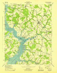
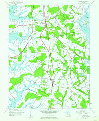
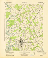
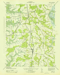
1944 Map of Preston
USGS Topo · Published 1944About this map
The Choptank River dominates this mid-century landscape, carving deep into the Eastern Shore at the meeting of Talbot, Caroline, and Dorchester counties. The town of Preston serves as a central hub, surrounded by a constellation of smaller settlements like Linchester, Bethlehem, and Beulah. This survey documents a critical transition in local transportation, showing both the active Baltimore and Eastern line and an Old RR Grade near the town of Jonestown.
Find a feature on this map
57 named features on this map. Tap any name to fly to it.
Don’t see what you’re looking for? This feature index may not catch every label — zoom into the map to look around manually.
Map Details
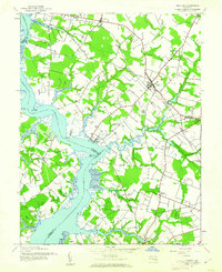
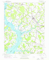
Editions of this 1944 Preston Map
3 editions found
Other maps of this area

1898 · Choptank
USGS Topo · 1:125,000

1904 · St. Michaels
USGS Topo · 1:62,500

1904 · Oxford
USGS Topo · 1:62,500

1905 · Denton
USGS Topo · 1:62,500

1905 · Hurlock
USGS Topo · 1:62,500

1908 · Choptank
USGS Topo · 1:125,000
1942 · Easton
USGS Topo · 1:24,000
1942 · Trappe
USGS Topo · 1:24,000
1943 · Easton
USGS Topo · 1:31,680
1943 · Trappe
USGS Topo · 1:31,680