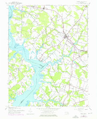
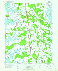
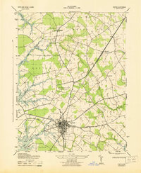
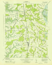
1944 Map of Preston
USGS Topo · Published 1976About this map
The Choptank River serves as the dominant geographic feature of this mid-shore Maryland landscape, defining the boundaries between Talbot, Caroline, and Dorchester counties. Broad necks of land such as Frazer Neck and Cabin Creek Neck are deeply etched by tidal estuaries including Hunting Creek, Marsh Creek, and Skeleton Creek. The settlement patterns here are deeply rooted in the agricultural and maritime traditions of the Eastern Shore, with small crossroads like Bethlehem and Beulah serving as focal points for rural life.
Find a feature on this map
41 named features on this map. Tap any name to fly to it.
Don’t see what you’re looking for? This feature index may not catch every label — zoom into the map to look around manually.
Map Details
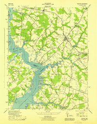
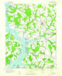
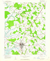
Editions of this 1944 Preston Map
3 editions found
Other maps of this area

1898 · Choptank
USGS Topo · 1:125,000

1904 · St. Michaels
USGS Topo · 1:62,500

1904 · Oxford
USGS Topo · 1:62,500

1905 · Denton
USGS Topo · 1:62,500

1905 · Hurlock
USGS Topo · 1:62,500

1908 · Choptank
USGS Topo · 1:125,000
1942 · Easton
USGS Topo · 1:24,000
1942 · Trappe
USGS Topo · 1:24,000
1943 · Easton
USGS Topo · 1:31,680
1943 · Trappe
USGS Topo · 1:31,680