1988 Map of Preston
USGS Topo · Published 1988About this map
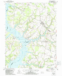
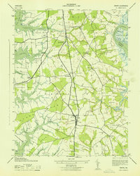
The Choptank River serves as the central artery of this Maryland Eastern Shore landscape, winding past a network of agricultural settlements and timbered creeks. The town of Preston sits as a primary inland hub, surrounded by smaller hamlets like Linchester and Beulah. This 1980s data shows a region defined by its water access, from the landings at Wrights Wharf and Lloyd Landing to the inland reaches of Hunting Creek and Blinkhorn Creek.
Find a feature on this map
80 named features on this map. Tap any name to fly to it.
Don’t see what you’re looking for? This feature index may not catch every label — zoom into the map to look around manually.
Map Details
Editions of this 1988 Preston Map
This is the sole edition of this map. No revisions or reprints were ever made.
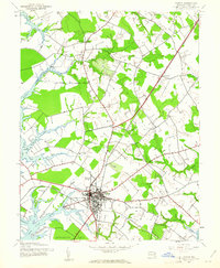
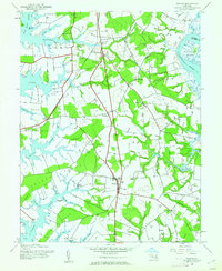
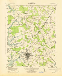
Other maps of this area

1898 · Choptank
USGS Topo · 1:125,000

1904 · St. Michaels
USGS Topo · 1:62,500

1904 · Oxford
USGS Topo · 1:62,500

1905 · Denton
USGS Topo · 1:62,500

1905 · Hurlock
USGS Topo · 1:62,500

1908 · Choptank
USGS Topo · 1:125,000
1942 · Easton
USGS Topo · 1:24,000
1942 · Trappe
USGS Topo · 1:24,000
1943 · Easton
USGS Topo · 1:31,680
1943 · Trappe
USGS Topo · 1:31,680