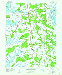
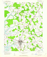
1942 Map of Trappe
USGS Topo · Published 1962About this map
Trappe serves as the central hub of this Eastern Shore landscape, situated amidst a complex network of necks and tidal creeks during the early 1940s. The Pennsylvania railroad line cuts north-to-south through the center of the sheet, supporting small rail-oriented communities like Stumptown and providing a connection at Trappe Sta. The relationship between the land and the water is evident in the numerous landings and named peninsulas, such as Edmundson Neck and Oxford Neck, which define the irregular shoreline of the Choptank River and Tred Avon River. Local life is anchored by rural institutions, including Union Ch and Landing Neck Ch, while family history is preserved at Merrick Cem and Upper Bamberry Cem. The inland terrain is marked by small settlements like Hambleton and Llandaff, which reflect the agricultural and maritime character of Talbot County before modern development patterns altered the rural footprint.
Find a feature on this map
42 named features on this map. Tap any name to fly to it.
Don’t see what you’re looking for? This feature index may not catch every label — zoom into the map to look around manually.
Map Details
Editions of this 1942 Trappe Map
3 editions found
Other maps of this area

1898 · Choptank
USGS Topo · 1:125,000

1904 · St. Michaels
USGS Topo · 1:62,500

1904 · Oxford
USGS Topo · 1:62,500

1905 · Denton
USGS Topo · 1:62,500

1905 · Hurlock
USGS Topo · 1:62,500

1908 · Choptank
USGS Topo · 1:125,000

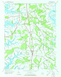
1942 · Oxford
USGS Topo · 1:31,680
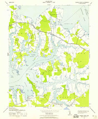
1942 · Church Creek
USGS Topo · 1:24,000
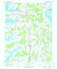
1942 · Easton
USGS Topo · 1:24,000
1942 · St. Michaels
USGS Topo · 1:24,000