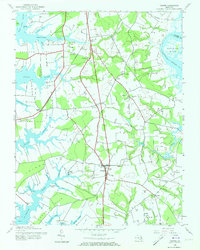
1942 Map of Trappe
USGS Topo · Published 1973About this map
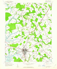
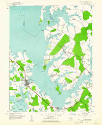
The town of Trappe serves as the focal point of this Eastern Shore landscape, situated amidst a complex network of peninsulas and tidal inlets. During this era, the community relied on a mix of maritime and rail transportation, evidenced by the presence of Trappe Sta and waterfront access at Trappe Landing. The map reveals a deeply etched coastline where prominent landforms like Edmundson Neck, Baileys Neck, and Frazier Neck are separated by the tidal waters of the Choptank River and Trippe Creek.
Find a feature on this map
43 named features on this map. Tap any name to fly to it.
Don’t see what you’re looking for? This feature index may not catch every label — zoom into the map to look around manually.
Map Details
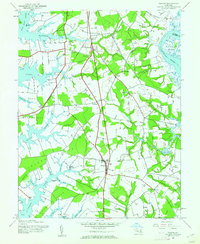
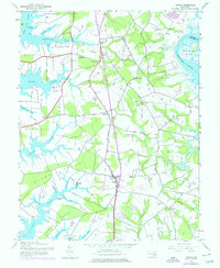
Editions of this 1942 Trappe Map
3 editions found
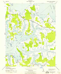
Other maps of this area

1898 · Choptank
USGS Topo · 1:125,000

1904 · St. Michaels
USGS Topo · 1:62,500

1904 · Oxford
USGS Topo · 1:62,500

1905 · Denton
USGS Topo · 1:62,500

1905 · Hurlock
USGS Topo · 1:62,500

1908 · Choptank
USGS Topo · 1:125,000

1942 · Oxford
USGS Topo · 1:31,680
1942 · Church Creek
USGS Topo · 1:24,000
1942 · Easton
USGS Topo · 1:24,000
1942 · St. Michaels
USGS Topo · 1:24,000