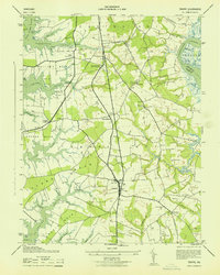
1943 Map of Trappe
USGS Topo · Published 1943About this map
The town of Trappe serves as a central hub on this mid-century coastal survey, situated between the expansive Choptank River and the branching inlets of the Tred Avon River. This landscape is defined by its numerous necks of land, including Bailey s Neck, Oxford Neck, and Grubin Neck, which illustrate the region's historical reliance on both agriculture and maritime access. Small rural communities like Stumptown, Hambleton, and Barber are scattered across the interior, connected by early roads such as Diffendeffer Road. The infrastructure of the era is evident in the Pennsylvania (Oxford Branch) railroad, which supported local transport and commerce at Trappe Station. For those tracing local heritage, several religious and burial sites are mapped, such as Union Church, Queen Esther Church, and the Merrick Cemetery, providing tangible links to the families who settled this part of Talbot County.
Find a feature on this map
58 named features on this map. Tap any name to fly to it.
Don’t see what you’re looking for? This feature index may not catch every label — zoom into the map to look around manually.
Map Details
Editions of this 1943 Trappe Map
This is the sole edition of this map. No revisions or reprints were ever made.
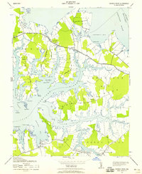
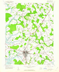
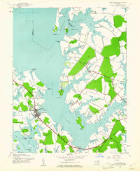
Other maps of this area

1898 · Choptank
USGS Topo · 1:125,000

1904 · St. Michaels
USGS Topo · 1:62,500

1904 · Oxford
USGS Topo · 1:62,500

1905 · Denton
USGS Topo · 1:62,500

1905 · Hurlock
USGS Topo · 1:62,500

1908 · Choptank
USGS Topo · 1:125,000

1942 · Oxford
USGS Topo · 1:31,680
1942 · Church Creek
USGS Topo · 1:24,000
1942 · Easton
USGS Topo · 1:24,000
1942 · St. Michaels
USGS Topo · 1:24,000