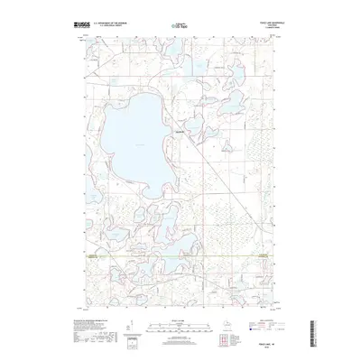
2018 Map of Fence Lake
USGS Topo · Published 2018About this map
Fence Lake and the interconnected waters of the Lac du Flambeau region dominate this landscape, illustrating a dense network of glacial lakes and wetlands along the Vilas and Oneida county line. The settlement of Marlands sits on the eastern shore of Fence Lake, served by a spiderweb of local roads like Bolton Lake Rd and Thoroughfare Rd. The complex hydrology of the area is evident in the proximity of Placid Twin Lakes, Gunlock Lake, and the expansive Mishonagon Swamp.
Find a feature on this map
119 named features on this map. Tap any name to fly to it.
Don’t see what you’re looking for? This feature index may not catch every label — zoom into the map to look around manually.
Map Details
Editions of this 2018 Fence Lake Map
This is the sole edition of this map. No revisions or reprints were ever made.
Other maps of this area

1938 · Minocqua
USGS Topo · 1:48,000

1938 · Lac Du Flambeau
USGS Topo · 1:48,000

1939 · Trout Lake
USGS Topo · 1:48,000

1939 · Lac Du Flambeau
USGS Topo · 1:48,000

1939 · Winchester
USGS Topo · 1:48,000

1946 · Winchester
USGS Topo · 1:48,000

1946 · Minocqua
USGS Topo · 1:48,000

1946 · Lac Du Flambeau
USGS Topo · 1:48,000

1946 · Trout Lake
USGS Topo · 1:48,000

1949 · Trout Lake
USGS Topo · 1:48,000