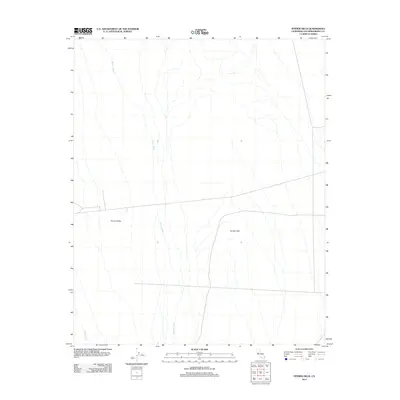
2012 Map of Fenner Hills
USGS Topo · Published 2012About this map
Fenner Valley and the Fenner Hills define this high-desert landscape in San Bernardino County, mapped here during the early 21st century. The map depicts a vast, arid terrain characterized by complex alluvial drainage systems, most notably Watson Wash and Woods Wash. These ephemeral watercourses illustrate the natural movement of seasonal runoff from the surrounding uplands into the valley floor. Beyond the natural topography, the map records the modern infrastructure of the region, showing the straight-line paths of roads and utility corridors that traverse this portion of the Mojave Desert, providing a detailed record of the area's physical geography and human impact during this era.
Find a feature on this map
4 named features on this map. Tap any name to fly to it.
Don’t see what you’re looking for? This feature index may not catch every label — zoom into the map to look around manually.
Map Details
Editions of this 2012 Fenner Hills Map
This is the sole edition of this map. No revisions or reprints were ever made.
Other maps of this area

1910 · Ivanpah
USGS Topo · 1:250,000

1912 · Ivanpah
USGS Topo · 1:250,000

1942 · Ivanpah
USGS Topo · 1:250,000

1942 · Amboy
USGS Topo · 1:250,000

1943 · Amboy
USGS Topo · 1:250,000

1943 · Fenner
USGS Topo · 1:62,500

1947 · Kingman
USGS Topo · 1:250,000

1948 · Kingman
USGS Topo · 1:250,000

1954 · Needles
USGS Topo · 1:250,000

1954 · Kingman
USGS Topo · 1:250,000