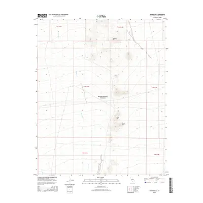
2015 Map of Fenner Hills
USGS Topo · Published 2015About this map
Mojave National Preserve encompasses the central portion of this 2015 survey, protecting a landscape where dry watercourses like Watson Wash and Woods Wash navigate through the arid terrain. The map captures a high-desert environment defined by the prominent heights of Hackberry Mtn in the north and the lower elevations of the Fenner Hills further south. This area within the broader Mojave Desert shows no permanent settlements, instead illustrating the preservation of open desert land and the natural drainage patterns that shape the San Bernardino County interior. The cartography provides a clear look at the topographic relief of the volcanic and sedimentary hills that rise abruptly from the surrounding alluvial fans, serving as a modern reference for the region's protected wilderness boundaries and elevation changes.
Find a feature on this map
12 named features on this map. Tap any name to fly to it.
Don’t see what you’re looking for? This feature index may not catch every label — zoom into the map to look around manually.
Map Details
Editions of this 2015 Fenner Hills Map
This is the sole edition of this map. No revisions or reprints were ever made.
Other maps of this area

1910 · Ivanpah
USGS Topo · 1:250,000

1912 · Ivanpah
USGS Topo · 1:250,000

1942 · Ivanpah
USGS Topo · 1:250,000

1942 · Amboy
USGS Topo · 1:250,000

1943 · Amboy
USGS Topo · 1:250,000

1943 · Fenner
USGS Topo · 1:62,500

1947 · Kingman
USGS Topo · 1:250,000

1948 · Kingman
USGS Topo · 1:250,000

1954 · Needles
USGS Topo · 1:250,000

1954 · Kingman
USGS Topo · 1:250,000