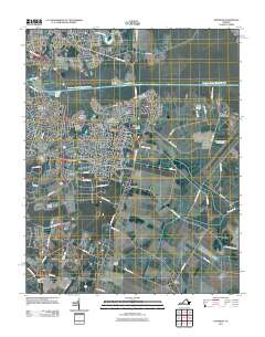
2011 Map of Fentress
USGS Topo · Published 2011About this map
Great Bridge and the Atlantic Yacht Basin serve as the focal point for maritime and suburban development along the Southern Branch Elizabeth River. This 2011 survey documents a transition from the dense residential neighborhoods of Edgewood and Oak Grove in the north to the more agrarian and specialized landscapes of the south. The Fentress Naval Air Landing Field dominates the eastern interior, while the southern reaches near Hickory Ground and Long Ridge retain their traditional agricultural character.
Find a feature on this map
69 named features on this map. Tap any name to fly to it.
Don’t see what you’re looking for? This feature index may not catch every label — zoom into the map to look around manually.
Map Details
Editions of this 2011 Fentress Map
This is the sole edition of this map. No revisions or reprints were ever made.
Other maps of this area

1907 · Norfolk
USGS Topo · 1:125,000

1918 · Cape Henry
USGS Topo · 1:62,500

1919 · Cape Henry
USGS Topo · 1:62,500

1921 · Newport News
USGS Topo · 1:62,500

1939 · Moyock
USGS Topo · 1:62,500

1940 · Lake Drummond
USGS Topo · 1:62,500

1944 · Norfolk South
USGS Topo · 1:25,000

1945 · Lake Drummond
USGS Topo · 1:62,500

1946 · Moyock
USGS Topo · 1:62,500

1948 · Norfolk South
USGS Topo · 1:24,000