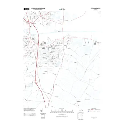
2013 Map of Fentress
USGS Topo · Published 2013About this map
Fentress and Hickory anchor this detailed study of Chesapeake's developing landscape in the early twenty-first century. The map illustrates a transition from established rural districts like Hickory Ground and the Pocaty River wetlands toward expanding residential developments such as Great Bridge Gardens, Albemarle Acres, and Battlewood Meadows. Transportation infrastructure is a central theme, highlighting the intersection of major corridors like Battlefield Blvd N and Centerville Tpke N with the local aviation history represented by Weatherly & Son Airport. The presence of the Atlantic Yacht Basin indicates the area's continued reliance on the coastal waterway system even as suburban growth moves inland toward Butts and Long Ridge. This map is particularly useful for tracking the modern names of neighborhoods and roads that sit atop much older family landholdings like Enohla Farms and Albemarle Farms.
Find a feature on this map
158 named features on this map. Tap any name to fly to it.
Don’t see what you’re looking for? This feature index may not catch every label — zoom into the map to look around manually.
Map Details
Editions of this 2013 Fentress Map
This is the sole edition of this map. No revisions or reprints were ever made.
Other maps of this area

1907 · Norfolk
USGS Topo · 1:125,000

1918 · Cape Henry
USGS Topo · 1:62,500

1919 · Cape Henry
USGS Topo · 1:62,500

1921 · Newport News
USGS Topo · 1:62,500

1939 · Moyock
USGS Topo · 1:62,500

1940 · Lake Drummond
USGS Topo · 1:62,500

1944 · Norfolk South
USGS Topo · 1:25,000

1945 · Lake Drummond
USGS Topo · 1:62,500

1946 · Moyock
USGS Topo · 1:62,500

1948 · Norfolk South
USGS Topo · 1:24,000