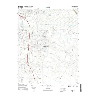
2016 Map of Fentress
USGS Topo · Published 2016About this map
The Intracoastal Waterway cuts a straight path through this portion of Chesapeake, dividing the more developed northern residential areas like Oak Grove and Edgewood from the more rural, marshy landscapes to the south. The southern half of the quadrangle is defined by vast natural features such as Gum Swamp and the winding course of the Pocaty River. This area maintains a strong agricultural and military presence, anchored by the Fentress Naval Auxiliary Field and the surrounding community of Fentress.
Find a feature on this map
173 named features on this map. Tap any name to fly to it.
Don’t see what you’re looking for? This feature index may not catch every label — zoom into the map to look around manually.
Map Details
Editions of this 2016 Fentress Map
This is the sole edition of this map. No revisions or reprints were ever made.
Other maps of this area

1907 · Norfolk
USGS Topo · 1:125,000

1918 · Cape Henry
USGS Topo · 1:62,500

1919 · Cape Henry
USGS Topo · 1:62,500

1921 · Newport News
USGS Topo · 1:62,500

1939 · Moyock
USGS Topo · 1:62,500

1940 · Lake Drummond
USGS Topo · 1:62,500

1944 · Norfolk South
USGS Topo · 1:25,000

1945 · Lake Drummond
USGS Topo · 1:62,500

1946 · Moyock
USGS Topo · 1:62,500

1948 · Norfolk South
USGS Topo · 1:24,000