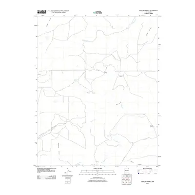
2010 Map of Fiddler Springs
USGS Topo · Published 2010About this map
Corrumpa Creek and Travesser Creek carve through this high plains landscape in northeastern New Mexico, defining a region of remote ranching outposts and scattered water sources. The map reveals a network of canyons, such as Cedar Canyon and Wooten Canyon, that break the tableland and direct the flow of seasonal water toward named springs. Significant for local family history, the Pleasant Hill Cemetery and Corrumpa Cemetery are documented here, alongside small settlements like Wilkinson and Edmonson.
Find a feature on this map
23 named features on this map. Tap any name to fly to it.
Don’t see what you’re looking for? This feature index may not catch every label — zoom into the map to look around manually.
Map Details
Editions of this 2010 Fiddler Springs Map
This is the sole edition of this map. No revisions or reprints were ever made.
Other maps of this area

1954 · Dalhart
USGS Topo · 1:250,000

1958 · Dalhart
USGS Topo · 1:250,000

1962 · Dalhart
USGS Topo · 1:250,000

1972 · Travesser Park
USGS Topo · 1:24,000
1972 · Guy
USGS Topo · 1:24,000
1972 · Fiddler Springs
USGS Topo · 1:24,000
1972 · Cross L Ranch
USGS Topo · 1:24,000

1972 · Cross L Ranch SW
USGS Topo · 1:24,000
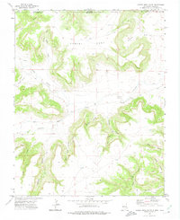
1972 · Cobert Mesa South
USGS Topo · 1:24,000
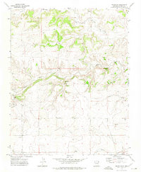
1972 · Boiler Gap
USGS Topo · 1:24,000