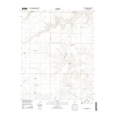
2013 Map of Fiddler Springs
USGS Topo · Published 2013About this map
Corrumpa Cr and Travesser Cr carve through this corner of Union County, defining a landscape of deep canyons and seasonal water sources. The area is marked by a network of drainage systems including Wildcat Canyon, Gleason Canyon, and Hackberry Canyon, which reveal the complex topography of the high plains. Human presence is centered around reliable water at Fiddler Springs, Willow Springs, and Roaring Spring.
Find a feature on this map
25 named features on this map. Tap any name to fly to it.
Don’t see what you’re looking for? This feature index may not catch every label — zoom into the map to look around manually.
Map Details
Editions of this 2013 Fiddler Springs Map
This is the sole edition of this map. No revisions or reprints were ever made.
Other maps of this area

1954 · Dalhart
USGS Topo · 1:250,000

1958 · Dalhart
USGS Topo · 1:250,000

1962 · Dalhart
USGS Topo · 1:250,000

1972 · Travesser Park
USGS Topo · 1:24,000
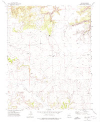
1972 · Guy
USGS Topo · 1:24,000
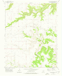
1972 · Fiddler Springs
USGS Topo · 1:24,000
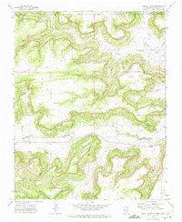
1972 · Cross L Ranch
USGS Topo · 1:24,000

1972 · Cross L Ranch SW
USGS Topo · 1:24,000
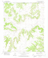
1972 · Cobert Mesa South
USGS Topo · 1:24,000
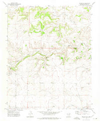
1972 · Boiler Gap
USGS Topo · 1:24,000