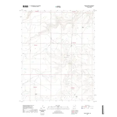
2020 Map of Fiddler Springs
USGS Topo · Published 2020About this map
Fiddler Springs and several other groundwater sources sustain the high-plateau drainage systems of northeastern Union County. The landscape is defined by deep incisions such as Wildcat Canyon and Cedar Canyon, which flow into the larger Travesser Cr and Corrumpa Cr basins. This rural environment is characterized by isolated cemeteries and remote canyon formations, reflecting the sparse ranching and agricultural presence in this corner of New Mexico. The location of Pleasant Hill Cem near the central drainage divide suggests an early focal point for the surrounding community, while the various springs, including Willow Springs and Rousing Spring, provided critical water points in an otherwise arid terrain. Named landmarks like Black Bluff and Wooten Canyon serve as prominent orientation markers for those navigating the backcountry between Co RD b018 and Co RD b086.
Find a feature on this map
24 named features on this map. Tap any name to fly to it.
Don’t see what you’re looking for? This feature index may not catch every label — zoom into the map to look around manually.
Map Details
Editions of this 2020 Fiddler Springs Map
This is the sole edition of this map. No revisions or reprints were ever made.
Other maps of this area

1954 · Dalhart
USGS Topo · 1:250,000

1958 · Dalhart
USGS Topo · 1:250,000

1962 · Dalhart
USGS Topo · 1:250,000

1972 · Travesser Park
USGS Topo · 1:24,000
1972 · Guy
USGS Topo · 1:24,000
1972 · Fiddler Springs
USGS Topo · 1:24,000
1972 · Cross L Ranch
USGS Topo · 1:24,000

1972 · Cross L Ranch SW
USGS Topo · 1:24,000
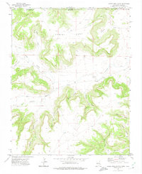
1972 · Cobert Mesa South
USGS Topo · 1:24,000
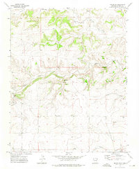
1972 · Boiler Gap
USGS Topo · 1:24,000