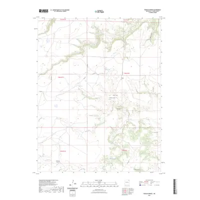
2023 Map of Fiddler Springs
USGS Topo · Published 2023About this map
Travesser Creek and Corrumpa Creek carve a distinct drainage system across this high plains landscape in Union County. The topography is defined by significant breaks including Black Bluff and several named gorges such as Wildcat Canyon, Cedar Canyon, and Wooten Canyon. These geological features provided essential landmarks and shelter for early ranching and travel through the northeast corner of New Mexico.
Find a feature on this map
24 named features on this map. Tap any name to fly to it.
Don’t see what you’re looking for? This feature index may not catch every label — zoom into the map to look around manually.
Map Details
Editions of this 2023 Fiddler Springs Map
This is the sole edition of this map. No revisions or reprints were ever made.
Other maps of this area

1954 · Dalhart
USGS Topo · 1:250,000

1958 · Dalhart
USGS Topo · 1:250,000

1962 · Dalhart
USGS Topo · 1:250,000

1972 · Travesser Park
USGS Topo · 1:24,000
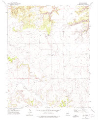
1972 · Guy
USGS Topo · 1:24,000
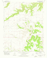
1972 · Fiddler Springs
USGS Topo · 1:24,000
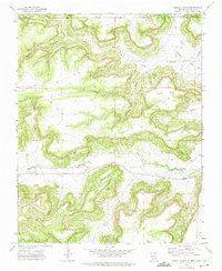
1972 · Cross L Ranch
USGS Topo · 1:24,000

1972 · Cross L Ranch SW
USGS Topo · 1:24,000
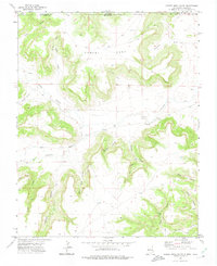
1972 · Cobert Mesa South
USGS Topo · 1:24,000
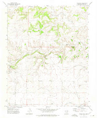
1972 · Boiler Gap
USGS Topo · 1:24,000