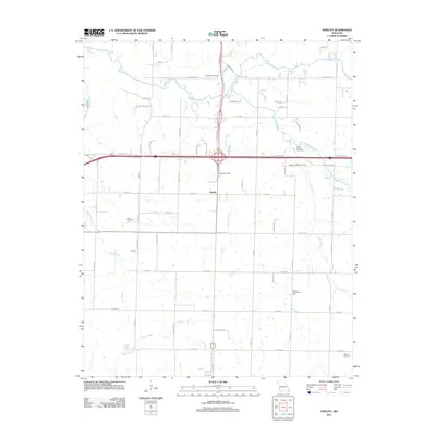
2011 Map of Fidelity
USGS Topo · Published 2011About this map
Fidelity serves as the central junction of this Jasper County landscape, where the local road network meets the intersection of major transit corridors. The area is defined by its small-scale rural settlements and a series of family and community-named cemeteries that provide valuable records for local genealogy, including Fullerton Cemetery, Stone Cemetery, and Farney Cemetery. The hydrology of the region is shaped by the winding courses of Center Creek and Grove Creek, which dictate the placement of farms and woodland plots across the township. Local social centers, such as the Liberty Community Hall and the Moss Springs Picnic Area near Moss Springs Cemetery, highlight the community life found in this corner of Missouri at the start of the 21st century.
Find a feature on this map
69 named features on this map. Tap any name to fly to it.
Don’t see what you’re looking for? This feature index may not catch every label — zoom into the map to look around manually.
Map Details
Editions of this 2011 Fidelity Map
This is the sole edition of this map. No revisions or reprints were ever made.
Other maps of this area

1886 · Carthage
USGS Topo · 1:125,000

1894 · Carthage
USGS Topo · 1:125,000

1916 · Neosho
USGS Topo · 1:62,500

1921 · Sarcoxie
USGS Topo · 1:62,500

1943 · Ritchey
USGS Topo · 1:62,500

1947 · Joplin
USGS Topo · 1:250,000

1949 · Joplin
USGS Topo · 1:250,000

1954 · Tulsa
USGS Topo · 1:250,000

1954 · Joplin
USGS Topo · 1:250,000

1958 · Joplin
USGS Topo · 1:250,000