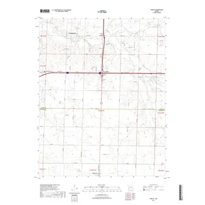
2017 Map of Fidelity
USGS Topo · Published 2017About this map
The southern outskirts of Carthage meet the rural township of Fidelity in this detailed survey of the Jasper and Newton County line. This area is defined by the winding course of Center Creek and its various tributaries, including Fidelity Br and Jenkins Creek. The landscape is dotted with small family and community burial grounds that offer significant value for genealogical research, such as Fullerton Cem near the creek and Moss Springs Cem to the east.
Find a feature on this map
90 named features on this map. Tap any name to fly to it.
Don’t see what you’re looking for? This feature index may not catch every label — zoom into the map to look around manually.
Map Details
Editions of this 2017 Fidelity Map
This is the sole edition of this map. No revisions or reprints were ever made.
Other maps of this area

1886 · Carthage
USGS Topo · 1:125,000

1894 · Carthage
USGS Topo · 1:125,000

1916 · Neosho
USGS Topo · 1:62,500

1921 · Sarcoxie
USGS Topo · 1:62,500

1943 · Ritchey
USGS Topo · 1:62,500

1947 · Joplin
USGS Topo · 1:250,000

1949 · Joplin
USGS Topo · 1:250,000

1954 · Tulsa
USGS Topo · 1:250,000

1954 · Joplin
USGS Topo · 1:250,000

1958 · Joplin
USGS Topo · 1:250,000