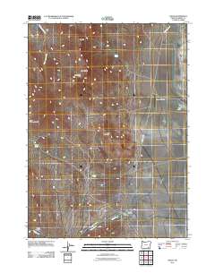
2011 Map of Fields
USGS Topo · Published 2011About this map
The settlement of Fields anchors this remote high-desert landscape in southeastern Oregon, serving as a critical waypoint along the Fields-Denio Rd. This 2011 survey documents the essential infrastructure of this isolated community, including the Fields Post Office and the nearby El Rancho Airport. The terrain is defined by dramatic elevation changes, rising from the basin near Dry Lake to prominent heights at Alvord Peak and Red Mountain. Natural water sources, such as Pedro Spring, Burks Spring, and O Keefe Spring, provide vital moisture in an arid environment otherwise dominated by seasonal drainage systems like Cottonwood Creek and Fields Creek. These springs and passes, including Buckwilder Pass and Long Hollow Summit, trace the historical and modern transit routes through the basin-and-range country of Harney County.
Find a feature on this map
18 named features on this map. Tap any name to fly to it.
Don’t see what you’re looking for? This feature index may not catch every label — zoom into the map to look around manually.
Map Details
Editions of this 2011 Fields Map
This is the sole edition of this map. No revisions or reprints were ever made.
Other maps of this area
1955 · Adel
USGS Topo · 1:250,000
1957 · Adel
USGS Topo · 1:250,000
1958 · Adel
USGS Topo · 1:250,000
1962 · Adel
USGS Topo · 1:250,000
1971 · Fields Basin
USGS Topo · 1:24,000
1971 · Andrews
USGS Topo · 1:24,000
1971 · V Lake
USGS Topo · 1:24,000
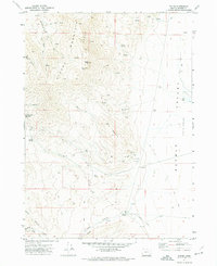
1971 · Fields
USGS Topo · 1:24,000
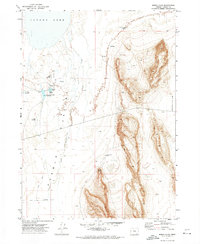
1971 · Borax Lake
USGS Topo · 1:24,000
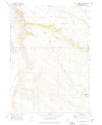
1971 · Skull Creek Butte
USGS Topo · 1:24,000