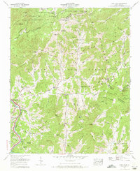
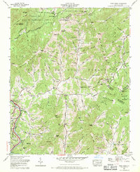
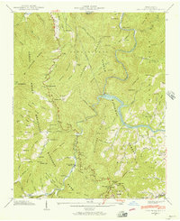
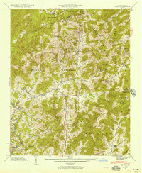
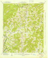
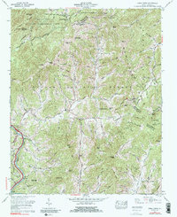
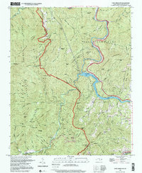
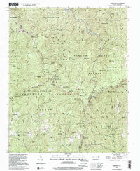
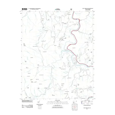
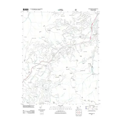
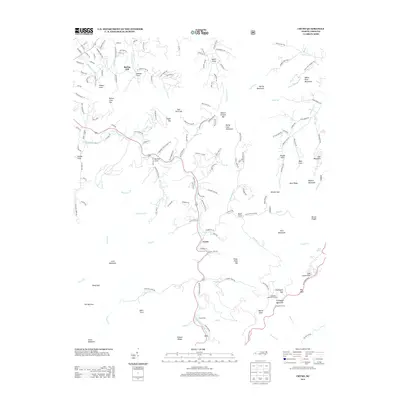
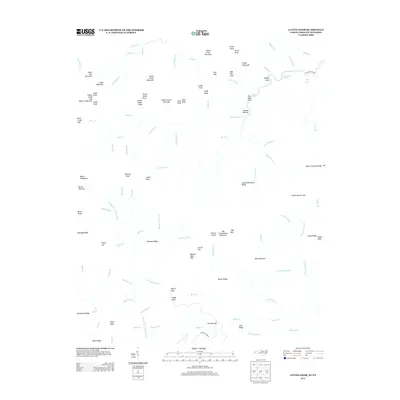
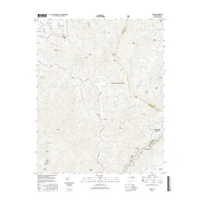
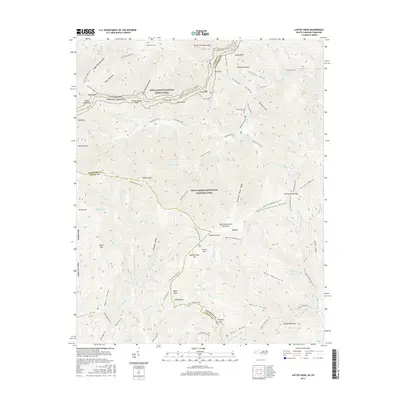
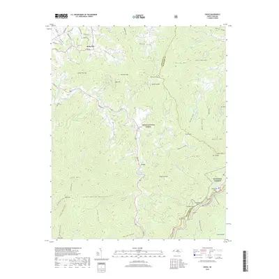
1967 Map of Fines Creek
USGS Topo · Published 1973About this map
The Pisgah National Forest and Harmon Den Wildlife Management Area define the steep, mountainous terrain where Madison and Haywood counties meet. This late 1960s landscape is deeply carved by water, with Fines Creek and its many branches like Rocky Branch and Indian Branch creating narrow valleys that dictate the layout of small settlements. A high concentration of family-named landmarks and cemeteries, such as the Newton Rogers Cem, Hiram Rogers Cem, and Ferguson Cem, suggests a long-standing kinship network across these ridges.
Find a feature on this map
96 named features on this map. Tap any name to fly to it.
Don’t see what you’re looking for? This feature index may not catch every label — zoom into the map to look around manually.
Map Details
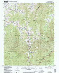
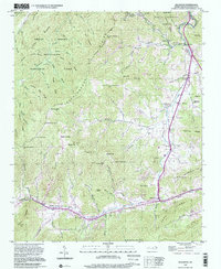
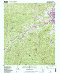
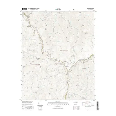
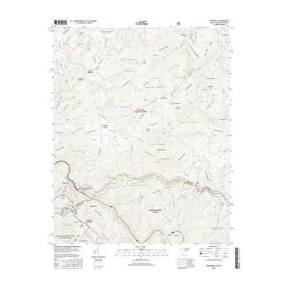
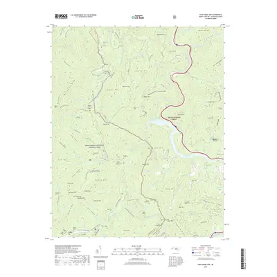
Editions of this 1967 Fines Creek Map
3 editions found
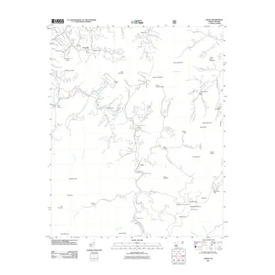
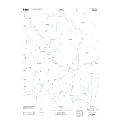
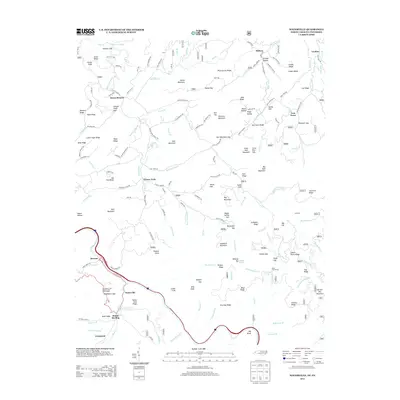
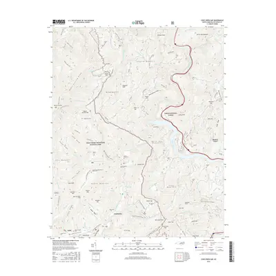
Historical Maps of Fines Creek Through Time
69 maps found

1935 Cruso
Haywood County, NC

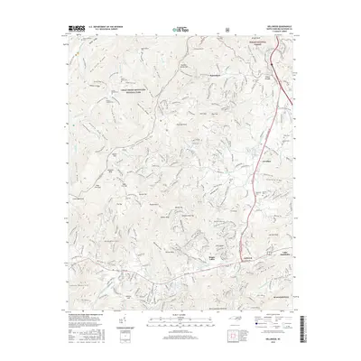
1935 Dellwood
Haywood County, NC

1935 Hazelwood
Haywood County, NC

1935 Sam Knob
Haywood County, NC
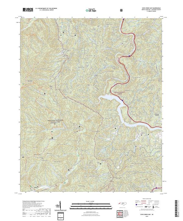
1936 Cove Creek Gap
Haywood County, NC
1936 Hepco
Haywood County, NC
1941 Cove Creek Gap
Haywood County, NC
1941 Cruso
Haywood County, NC
1941 Dellwood
Haywood County, NC
1941 Hazelwood
Haywood County, NC
1941 Hepco
Haywood County, NC
1942 Cove Creek Gap
Haywood County, NC
1942 Cruso
Haywood County, NC
1942 Hazelwood
Haywood County, NC
1942 Hepco
Haywood County, NC
1946 Sam Knob
Haywood County, NC
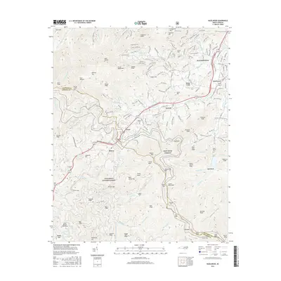
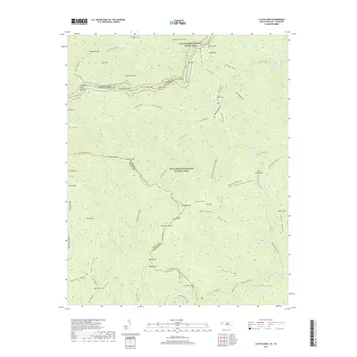
1964 Luftee Knob
Haywood County, NC
1967 Cove Creek Gap
Haywood County, NC
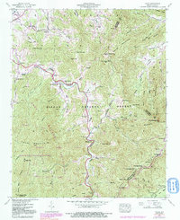
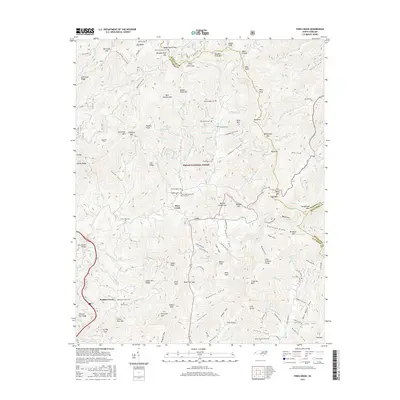
1967 Fines Creek
Haywood County, NC
1976 Cove Creek Gap
Haywood County, NC
1976 Dellwood
Haywood County, NC
1976 Luftee Knob
Haywood County, NC
1997 Cove Creek Gap
Haywood County, NC
1997 Cruso
Haywood County, NC
1997 Dellwood
Haywood County, NC
1997 Hazelwood
Haywood County, NC
1997 Sam Knob
Haywood County, NC
2000 Luftee Knob
Haywood County, NC
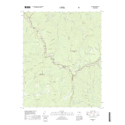
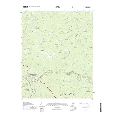
2003 Waterville
Haywood County, NC
2010 Luftee Knob
Haywood County, NC
2011 Cove Creek Gap
Haywood County, NC
2011 Cruso
Haywood County, NC
2011 Dellwood
Haywood County, NC
2011 Fines Creek
Haywood County, NC
2011 Hazelwood
Haywood County, NC
2011 Sam Knob
Haywood County, NC
2011 Waterville
Haywood County, NC
2013 Cove Creek Gap
Haywood County, NC
2013 Cruso
Haywood County, NC
2013 Dellwood
Haywood County, NC
2013 Fines Creek
Haywood County, NC
2013 Hazelwood
Haywood County, NC
2013 Luftee Knob
Haywood County, NC
2013 Sam Knob
Haywood County, NC
2013 Waterville
Haywood County, NC
2016 Cove Creek Gap
Haywood County, NC
2016 Cruso
Haywood County, NC
2016 Dellwood
Haywood County, NC
2016 Fines Creek
Haywood County, NC
2016 Hazelwood
Haywood County, NC
2016 Luftee Knob
Haywood County, NC
2016 Sam Knob
Haywood County, NC
2016 Waterville
Haywood County, NC
2019 Cove Creek Gap
Haywood County, NC
2019 Cruso
Haywood County, NC
2019 Dellwood
Haywood County, NC
2019 Fines Creek
Haywood County, NC
2019 Hazelwood
Haywood County, NC
2019 Luftee Knob
Haywood County, NC
2019 Sam Knob
Haywood County, NC
2019 Waterville
Haywood County, NC
2022 Cove Creek Gap
Haywood County, NC
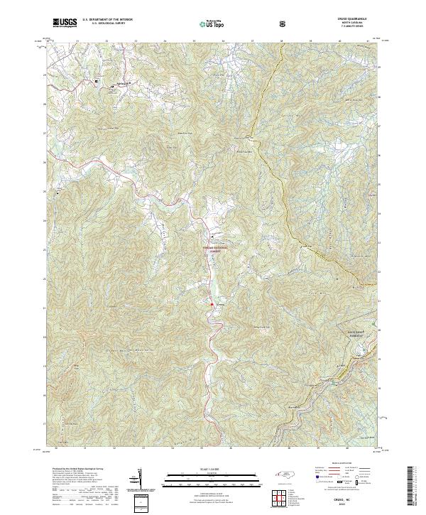
2022 Cruso
Haywood County, NC
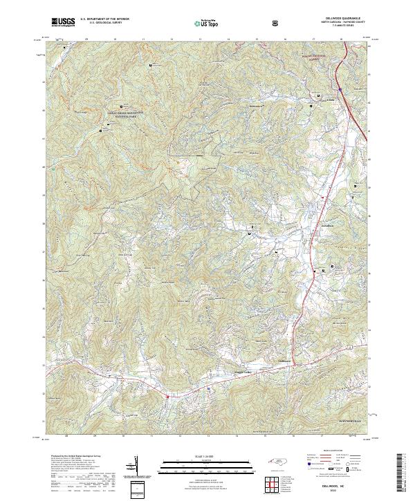
2022 Dellwood
Haywood County, NC
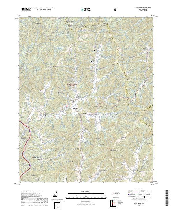
2022 Fines Creek
Haywood County, NC
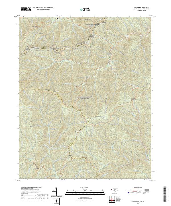
2022 Luftee Knob
Haywood County, NC
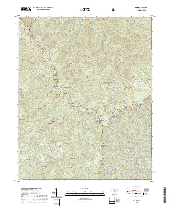
2022 Sam Knob
Haywood County, NC
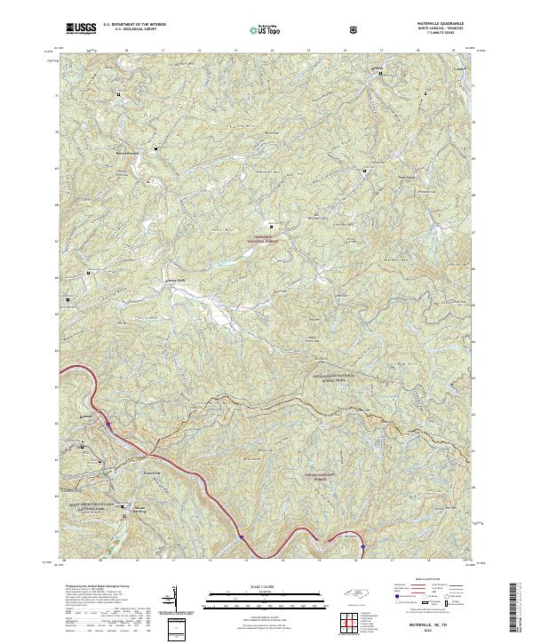
2022 Waterville
Haywood County, NC
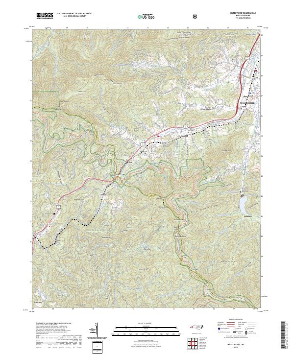
2023 Hazelwood
Haywood County, NC