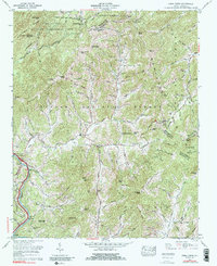
1967 Map of Fines Creek
USGS Topo · Published 1990About this map
Harmon Den Wildlife Management Area and the high ridges of the Pisgah National Forest dominate this mountain landscape at the intersection of Haywood, Madison, and Buncombe counties. The map captures a high-elevation backcountry where the Pigeon River flows toward the north, feeding into Waterville Lake. Small mountain communities are centered around local institutions like the Fines Creek Sch and several country houses of worship, including Belmont Ch and New Hope Church.
Find a feature on this map
94 named features on this map. Tap any name to fly to it.
Don’t see what you’re looking for? This feature index may not catch every label — zoom into the map to look around manually.
Map Details
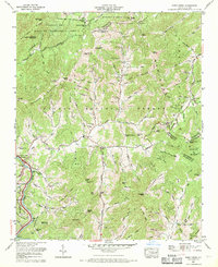
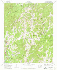
Editions of this 1967 Fines Creek Map
3 editions found
Other maps of this area

1893 · Mt Guyot
USGS Topo · 1:125,000

1894 · Asheville
USGS Topo · 1:125,000

1901 · Asheville
USGS Topo · 1:125,000

1912 · Mt Guyot
USGS Topo · 1:125,000

1935 · Newport
USGS Topo · 1:48,000

1935 · Canton
USGS Topo · 1:24,000

1935 · Dellwood
USGS Topo · 1:24,000

1935 · Clyde
USGS Topo · 1:24,000

1935 · Spring Creek
USGS Topo · 1:24,000

1935 · Lemon Gap
USGS Topo · 1:24,000