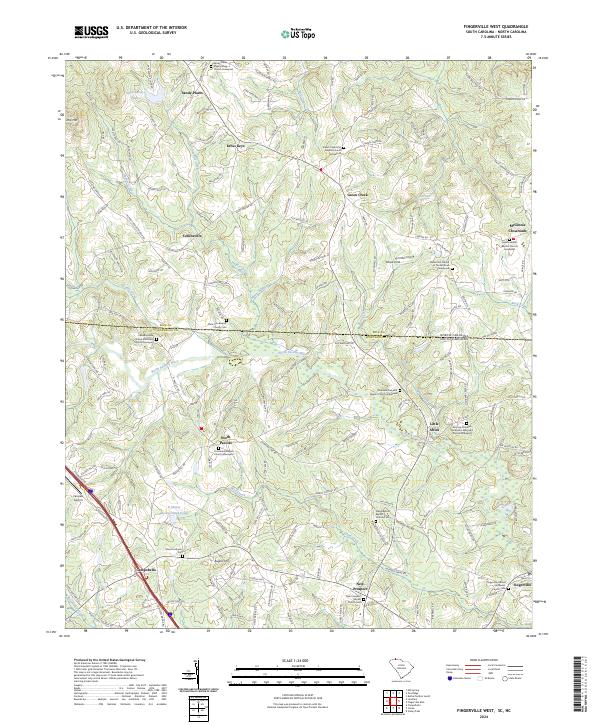
2024 Map of Fingerville West
USGS Topo · Published 2024About this map
The North Pacolet River and its numerous tributaries, including Marys Branch and Obed Creek, carve through this section of the Piedmont along the South Carolina and North Carolina border. This landscape is defined by its dense network of small communities and rural congregations, such as the historic Little Africa settlement and the crossroads of Kross Keys. Genealogists will find a wealth of data in the many churchyards documented here, from the Sandy Plains Presbyterian Church Graveyard in the north to the New Prospect Baptist Church Cem in the south. The area’s aviation and residential growth is marked by Fairview Airport near Campobello, while agricultural roots persist in places like the Wheat Field near the state line. This survey captures a transition from traditional agrarian life to modern rural-residential patterns.
Find a feature on this map
185 named features on this map. Tap any name to fly to it.
Don’t see what you’re looking for? This feature index may not catch every label — zoom into the map to look around manually.
Map Details
Editions of this 2024 Fingerville West Map
This is the sole edition of this map. No revisions or reprints were ever made.
Historical Maps of Kross Keys Through Time
8 maps found
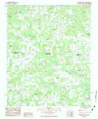
1975 Cowpens NW
Spartanburg County, SC
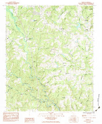
1983 Fingerville East
Spartanburg County, SC
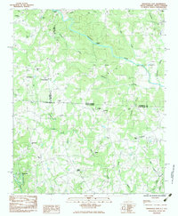
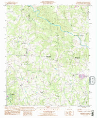
1983 Fingerville West
Spartanburg County, SC
1983 Moore
Spartanburg County, SC
1993 Fingerville East
Spartanburg County, SC
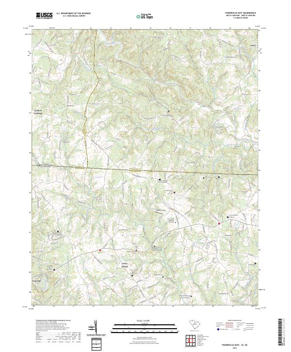
2024 Fingerville East
Spartanburg County, SC
2024 Fingerville West
Spartanburg County, SC
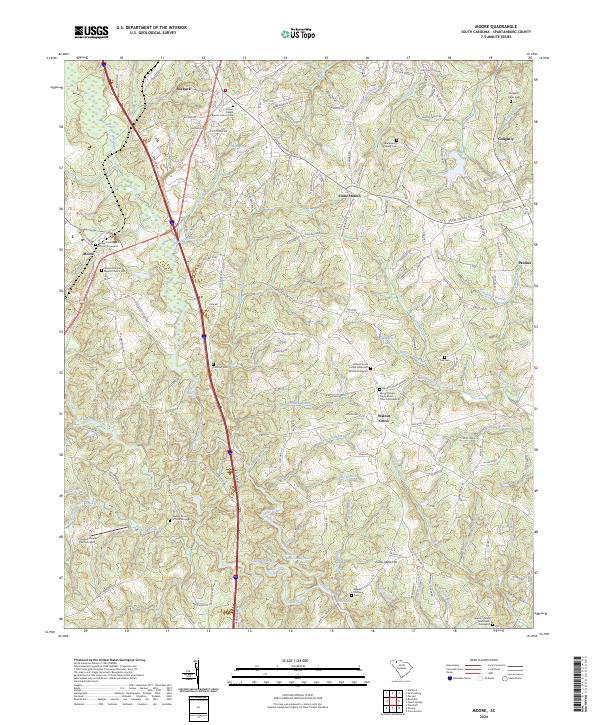
2024 Moore
Spartanburg County, SC