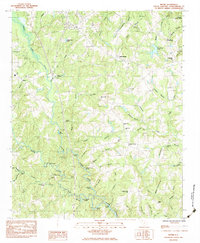
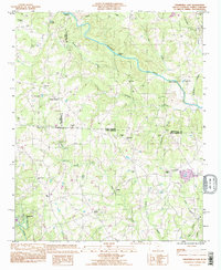
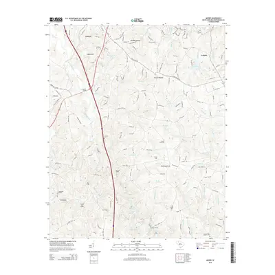
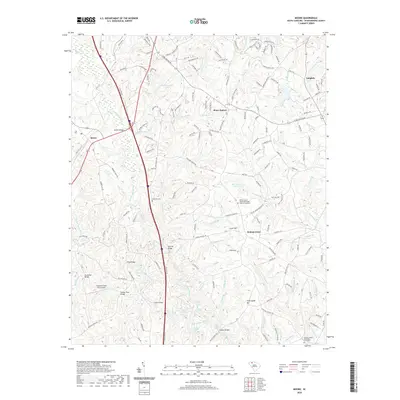
1983 Map of Moore
USGS Topo · Published 1983About this map
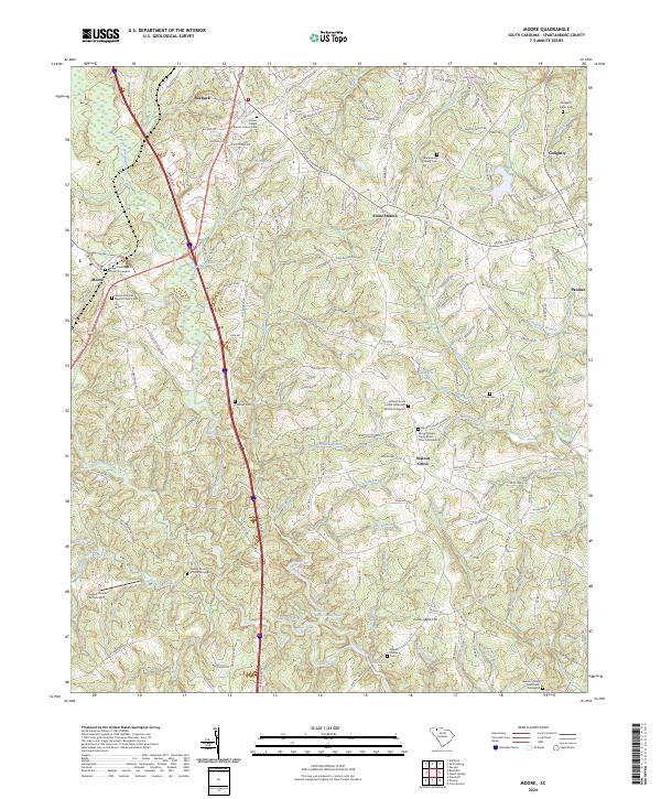
Walnut Grove Plantation and the Price Historical House stand as central landmarks in this Spartanburg County landscape, where the convergence of the North Tyger River and South Tyger River dictates the local geography. The map reveals a rural South Carolina community defined by its water crossings and historic church sites, such as Foster Chapel and Wofford Chapel.
Find a feature on this map
71 named features on this map. Tap any name to fly to it.
Don’t see what you’re looking for? This feature index may not catch every label — zoom into the map to look around manually.
Map Details
Editions of this 1983 Moore Map
This is the sole edition of this map. No revisions or reprints were ever made.
Historical Maps of Roebuck Through Time
20 maps found
1975 Cowpens NW
Spartanburg County, SC
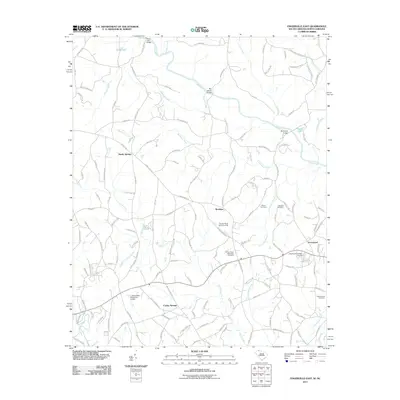
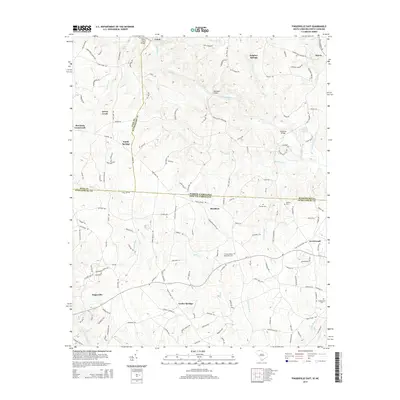
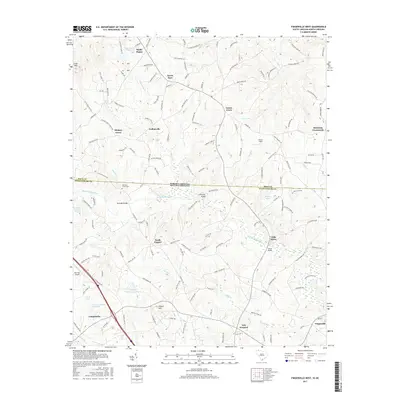
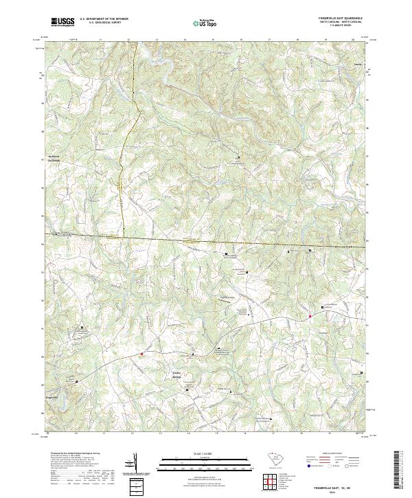
1983 Fingerville East
Spartanburg County, SC
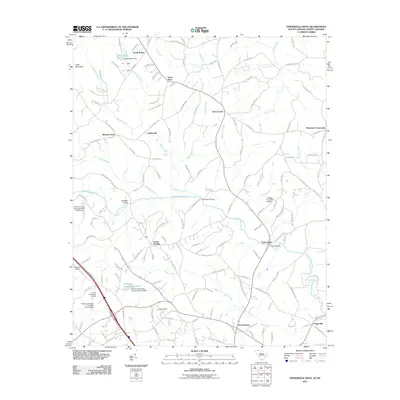
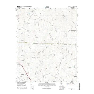
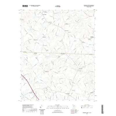
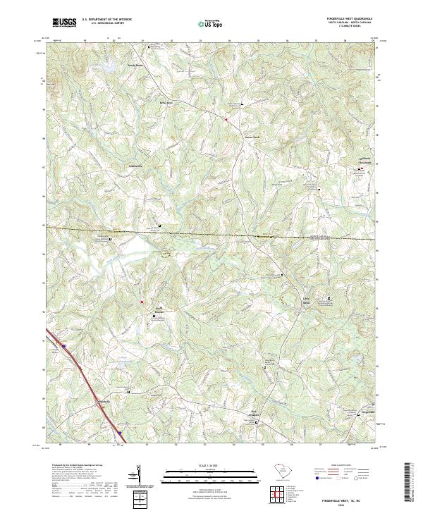
1983 Fingerville West
Spartanburg County, SC
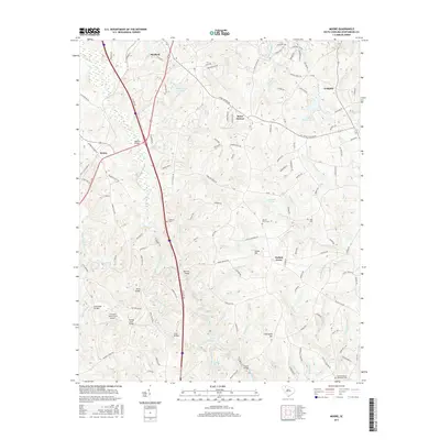
1983 Moore
Spartanburg County, SC
1993 Fingerville East
Spartanburg County, SC
2011 Fingerville East
Spartanburg County, SC
2011 Fingerville West
Spartanburg County, SC
2011 Moore
Spartanburg County, SC
2014 Fingerville East
Spartanburg County, SC
2014 Fingerville West
Spartanburg County, SC
2014 Moore
Spartanburg County, SC
2017 Fingerville East
Spartanburg County, SC
2017 Fingerville West
Spartanburg County, SC
2017 Moore
Spartanburg County, SC
2020 Fingerville East
Spartanburg County, SC
2020 Fingerville West
Spartanburg County, SC
2020 Moore
Spartanburg County, SC
2024 Fingerville East
Spartanburg County, SC
2024 Fingerville West
Spartanburg County, SC
2024 Moore
Spartanburg County, SC