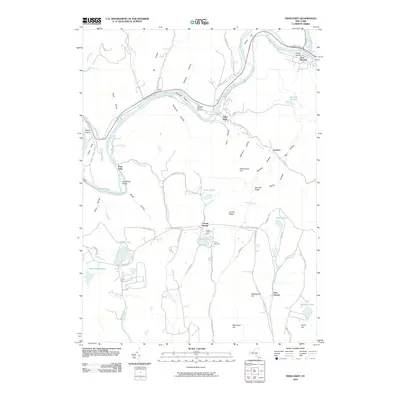
2010 Map of Fishs Eddy
USGS Topo · Published 2010About this map
East Branch Delaware River winds through this Catskill mountain landscape, carving a valley defined by numerous eddies and islands. The riverside settlements of East Branch and Fishs Eddy serve as the primary hubs of the area, connected by the historical routing of Co Rd 17 and the proximity of Tylers Switch. This terrain is deeply etched by narrow hollows like Nancokus Hollow and Wheeler Hollow, illustrating the classic Appalachian drainage patterns that shaped local development and travel.
Find a feature on this map
77 named features on this map. Tap any name to fly to it.
Don’t see what you’re looking for? This feature index may not catch every label — zoom into the map to look around manually.
Map Details
Editions of this 2010 Fishs Eddy Map
This is the sole edition of this map. No revisions or reprints were ever made.
Other maps of this area

1920 · Long Eddy
USGS Topo · 1:62,500

1921 · Long Eddy
USGS Topo · 1:48,000

1923 · Long Eddy
USGS Topo · 1:62,500

1923 · Walton
USGS Topo · 1:48,000

1924 · Starrucca
USGS Topo · 1:48,000

1924 · Deposit
USGS Topo · 1:62,500

1925 · Walton
USGS Topo · 1:62,500

1926 · Deposit
USGS Topo · 1:62,500

1926 · Starrucca
USGS Topo · 1:62,500

1930 · Starrucca
USGS Topo · 1:48,000