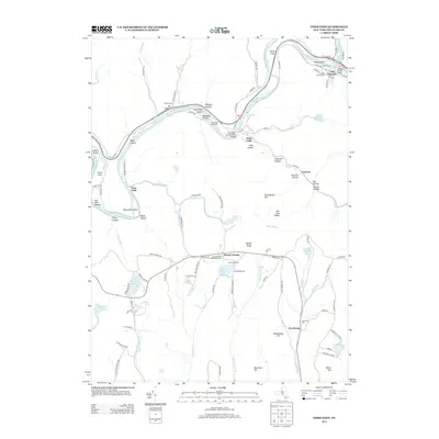
2013 Map of Fishs Eddy
USGS Topo · Published 2013About this map
East Branch and Fishs Eddy define the riverine character of this landscape along the winding East Br Delaware River. The 2013 survey illustrates a region where transportation history and recreation are closely linked, featuring the O and W Rd corridor alongside summer destinations like Camp Pine Cone and Camp Deerhead. Small clusters of settlement such as French Woods and Pea Brook are scattered through the uplands, often centered around local landmarks like the French Woods Community Cem.
Find a feature on this map
108 named features on this map. Tap any name to fly to it.
Don’t see what you’re looking for? This feature index may not catch every label — zoom into the map to look around manually.
Map Details
Editions of this 2013 Fishs Eddy Map
This is the sole edition of this map. No revisions or reprints were ever made.
Other maps of this area

1920 · Long Eddy
USGS Topo · 1:62,500

1921 · Long Eddy
USGS Topo · 1:48,000

1923 · Long Eddy
USGS Topo · 1:62,500

1923 · Walton
USGS Topo · 1:48,000

1924 · Starrucca
USGS Topo · 1:48,000

1924 · Deposit
USGS Topo · 1:62,500

1925 · Walton
USGS Topo · 1:62,500

1926 · Deposit
USGS Topo · 1:62,500

1926 · Starrucca
USGS Topo · 1:62,500

1930 · Starrucca
USGS Topo · 1:48,000