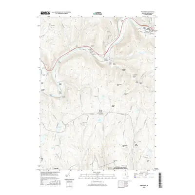
2016 Map of Fishs Eddy
USGS Topo · Published 2016About this map
The East Branch Delaware River winds through this Catskill landscape, anchoring settlements like East Branch and Fishs Eddy. This 2016 survey documents a region defined by its water and high ridges, including Hawk Mtn and Rattlesnake Hill. Genealogists will find a high concentration of burial sites, from the Old East Branch Cem and East Branch Cem in the northeast to the Pea Brook Cem and French Woods Community Cem further south.
Find a feature on this map
104 named features on this map. Tap any name to fly to it.
Don’t see what you’re looking for? This feature index may not catch every label — zoom into the map to look around manually.
Map Details
Editions of this 2016 Fishs Eddy Map
This is the sole edition of this map. No revisions or reprints were ever made.
Other maps of this area

1920 · Long Eddy
USGS Topo · 1:62,500

1921 · Long Eddy
USGS Topo · 1:48,000

1923 · Long Eddy
USGS Topo · 1:62,500

1923 · Walton
USGS Topo · 1:48,000

1924 · Starrucca
USGS Topo · 1:48,000

1924 · Deposit
USGS Topo · 1:62,500

1925 · Walton
USGS Topo · 1:62,500

1926 · Deposit
USGS Topo · 1:62,500

1926 · Starrucca
USGS Topo · 1:62,500

1930 · Starrucca
USGS Topo · 1:48,000