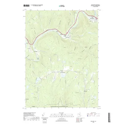
2019 Map of Fishs Eddy
USGS Topo · Published 2019About this map
The East Branch Delaware River carves a deep path through the Delaware County highlands, anchoring a series of riverfront settlements and agricultural flats. Small communities like East Branch, Fishs Eddy, and Peas Eddy are positioned along the riverbank, where the topography levels out into landforms such as Earlys Flat and Green Flats. The landscape is defined by its dramatic vertical relief, with numerous hollows—including Tar Hollow, Wheeler Hollow, and Nancokus Hollow—draining into the main river channel.
Find a feature on this map
63 named features on this map. Tap any name to fly to it.
Don’t see what you’re looking for? This feature index may not catch every label — zoom into the map to look around manually.
Map Details
Editions of this 2019 Fishs Eddy Map
This is the sole edition of this map. No revisions or reprints were ever made.
Other maps of this area

1920 · Long Eddy
USGS Topo · 1:62,500

1921 · Long Eddy
USGS Topo · 1:48,000

1923 · Long Eddy
USGS Topo · 1:62,500

1923 · Walton
USGS Topo · 1:48,000

1924 · Starrucca
USGS Topo · 1:48,000

1924 · Deposit
USGS Topo · 1:62,500

1925 · Walton
USGS Topo · 1:62,500

1926 · Deposit
USGS Topo · 1:62,500

1926 · Starrucca
USGS Topo · 1:62,500

1930 · Starrucca
USGS Topo · 1:48,000