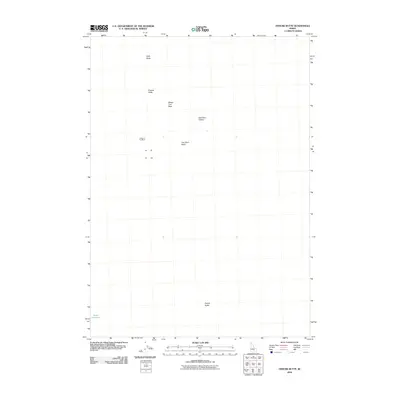
2010 Map of Fissure Butte
USGS Topo · Published 2010About this map
Split Butte and Fissure Butte anchor the northern landscape of this 2010 survey in Blaine County, Idaho. The terrain is characterized by distinct geological formations, including the evocatively named Vermilion Chasm and Bridge of the Moon. This high-desert environment shows very little human footprint, with Hawk Reservoir in the southwest corner representing one of the few water-management features in the quadrangle.
Find a feature on this map
10 named features on this map. Tap any name to fly to it.
Don’t see what you’re looking for? This feature index may not catch every label — zoom into the map to look around manually.
Map Details
Editions of this 2010 Fissure Butte Map
This is the sole edition of this map. No revisions or reprints were ever made.
Other maps of this area

1955 · Idaho Falls
USGS Topo · 1:250,000

1958 · Idaho Falls
USGS Topo · 1:250,000

1972 · North Laidlaw Butte
USGS Topo · 1:24,000

1972 · Pratt Butte
USGS Topo · 1:24,000

1972 · Bear Den Butte
USGS Topo · 1:24,000

1972 · Bear Park East
USGS Topo · 1:24,000

1972 · Bear Park West
USGS Topo · 1:24,000

1972 · Fingers Butte
USGS Topo · 1:24,000

1972 · Inferno Cone
USGS Topo · 1:24,000
1973 · Fissure Butte
USGS Topo · 1:24,000