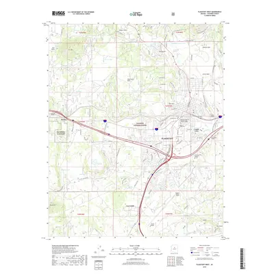
2018 Map of Flagstaff West
USGS Topo · Published 2018About this map
Coconino National Forest defines the landscape of the western portion of Flagstaff, where high-altitude scientific and educational institutions meet the high desert terrain. The area is anchored by the sprawling Northern Arizona Univ campus and the specialized NAV-OBS-STA Flagstaff facility, reflecting the city’s identity as a hub for research. Major transportation and recreation corridors converge here, including the Arizona National Scenic Trail which winds through volcanic features like Mars Hill and McMillan Mesa.
Find a feature on this map
89 named features on this map. Tap any name to fly to it.
Don’t see what you’re looking for? This feature index may not catch every label — zoom into the map to look around manually.
Map Details
Editions of this 2018 Flagstaff West Map
This is the sole edition of this map. No revisions or reprints were ever made.
Other maps of this area

1886 · San Francisco Mtns
USGS Topo · 1:250,000

1891 · San Francisco Mtns
USGS Topo · 1:250,000

1894 · San Francisco Mtns
USGS Topo · 1:250,000

1899 · San Francisco Mtns
USGS Topo · 1:250,000

1908 · Flagstaff
USGS Topo · 1:125,000

1912 · Flagstaff
USGS Topo · 1:125,000

1947 · Flagstaff
USGS Topo · 1:250,000

1954 · Flagstaff
USGS Topo · 1:250,000

1958 · Flagstaff
USGS Topo · 1:250,000

1960 · Flagstaff
USGS Topo · 1:250,000