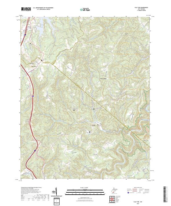
2023 Map of Flat Top
USGS Topo · Published 2023About this map
Flat Top Lake and the high ridges of southern West Virginia define this landscape at the intersection of Raleigh, Mercer, and Summers counties. The area is characterized by traditional Appalachian settlements and family-named landmarks, such as Tom Lilly Cem and Hatcher Cem, which offer significant value for genealogists tracing local lineage. The topography is dominated by massive landforms like Flat Top Mtn and Ellison Ridge, which channel numerous watercourses including the Little Bluestone River and Mountain Creek.
Find a feature on this map
103 named features on this map. Tap any name to fly to it.
Don’t see what you’re looking for? This feature index may not catch every label — zoom into the map to look around manually.
Map Details
Editions of this 2023 Flat Top Map
This is the sole edition of this map. No revisions or reprints were ever made.
Other maps of this area

1887 · Pocahontas
USGS Topo · 1:125,000

1887 · Hinton
USGS Topo · 1:125,000

1890 · Dublin
USGS Topo · 1:125,000

1891 · Pocahontas
USGS Topo · 1:125,000

1891 · Dublin
USGS Topo · 1:125,000

1891 · Raleigh
USGS Topo · 1:125,000

1892 · Hinton
USGS Topo · 1:125,000

1894 · Pocahontas
USGS Topo · 1:125,000

1895 · Pocahontas
USGS Topo · 1:125,000

1897 · Raleigh
USGS Topo · 1:125,000