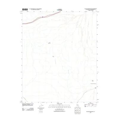
2012 Map of Flattop Mountain
USGS Topo · Published 2012About this map
Flattop Mountain and the surrounding high desert terrain define this corner of San Bernardino County in the early 21st century. The landscape is marked by the dry drainage systems of Hacienda Wash and Crestview Wash, which cut through the arid flats beneath the northern reach of the Sacramento Mountains. Evidence of human activity is sparse but specific, centered on the historic site at Browns Camp and the connectivity provided by Eagle Pass Rd and a Utility Access Rd. The map detail follows the passage through the peaks at Eagle Pass near the prominent Eagle Peak. This survey provides a precise look at the geography of this desert expanse before further modernization, focusing on the natural contours and the essential access routes that traverse the basin.
Find a feature on this map
9 named features on this map. Tap any name to fly to it.
Don’t see what you’re looking for? This feature index may not catch every label — zoom into the map to look around manually.
Map Details
Editions of this 2012 Flattop Mountain Map
This is the sole edition of this map. No revisions or reprints were ever made.
Other maps of this area

1903 · Needles
USGS Topo · 1:125,000

1904 · Needles Special
USGS Topo · 1:125,000

1943 · Center Hills
USGS Topo · 1:62,500

1943 · Bannock
USGS Topo · 1:62,500

1950 · Sawtooth Range
USGS Topo · 1:62,500

1950 · Needles
USGS Topo · 1:62,500

1951 · Sawtooth Range
USGS Topo · 1:62,500

1952 · Needles
USGS Topo · 1:62,500

1954 · Needles
USGS Topo · 1:250,000

1956 · Needles
USGS Topo · 1:250,000