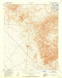
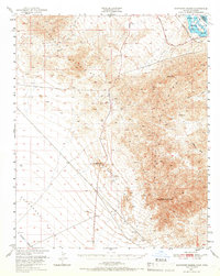
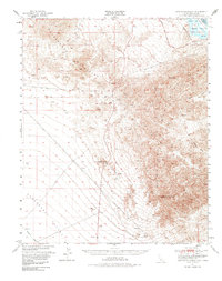
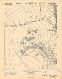
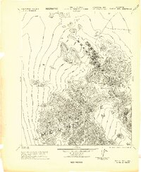
1950 Map of Sawtooth Range
USGS Topo · Published 1957About this map
The Sawtooth Range and the Sacramento Mountains dominate this 1950 desert landscape along the border of California and Arizona. In the northeast corner, the Colorado River flows through the Havasu Lake National Wildlife Refuge, marking the boundary between San Bernardino and Mohave Counties. Transport corridors are clearly defined by the Atchison Topeka and Santa Fe railroad and the Old Trails Road, which traverse the arid expanses of the Chemehuevi Valley.
Find a feature on this map
19 named features on this map. Tap any name to fly to it.
Don’t see what you’re looking for? This feature index may not catch every label — zoom into the map to look around manually.
Map Details
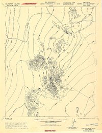
Editions of this 1950 Sawtooth Range Map
3 editions found
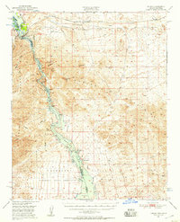
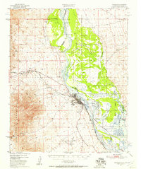
Other maps of this area

1903 · Needles
USGS Topo · 1:125,000

1904 · Needles Special
USGS Topo · 1:125,000

1911 · Parker
USGS Topo · 1:125,000
1943 · Center Hills
USGS Topo · 1:62,500

1943 · Topock
USGS Topo · 1:62,500

1943 · Whipple Mts.
USGS Topo · 1:62,500
1943 · Bannock
USGS Topo · 1:62,500
1943 · Turtle Mts.
USGS Topo · 1:62,500
1950 · Topock
USGS Topo · 1:62,500
1950 · Needles
USGS Topo · 1:62,500