
1911 Map of Parker
USGS Topo · Published 1911About this map
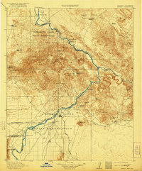
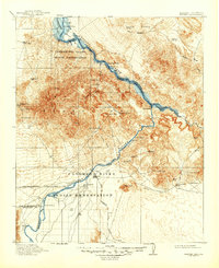
The Colorado River serves as the central artery and state boundary in this 1911 survey, carving through the Whipple Mountains and Riverside Mountains. At the heart of the region lies the Colorado River Indian Reservation, with the settlement of Parker established at the intersection of the river and the Santa Fe Prescott and Phoenix RR. This era of the Arizona-California borderlands is defined by a reliance on river landings, such as Liverpool Landing and Doyles Landing, alongside a burgeoning mineral economy. The terrain is marked by numerous mining prospects and claims, including the Billy Mack Mine and Mineral Hill. Detailed topography reveals the stark desert landscape where features like Monument Peak and Black Peak overlook dry washes and isolated springs like Screwbean Spring and Mohave Spring.
Find a feature on this map
54 named features on this map. Tap any name to fly to it.
Don’t see what you’re looking for? This feature index may not catch every label — zoom into the map to look around manually.
Map Details
Editions of this 1911 Parker Map
3 editions found
Other maps of this area

1903 · Needles
USGS Topo · 1:125,000

1904 · Needles Special
USGS Topo · 1:125,000

1923 · Signal
USGS Topo · 1:250,000

1927 · Buck Mountains
USGS Topo · 1:62,500

1929 · Buck Mountains
USGS Topo · 1:62,500

1930 · Linskey
USGS Topo · 1:62,500

1931 · Moon Mtn
USGS Topo · 1:62,500

1932 · Moon Mtn
USGS Topo · 1:62,500

1942 · Signal
USGS Topo · 1:250,000

1942 · Blythe
USGS Topo · 1:250,000