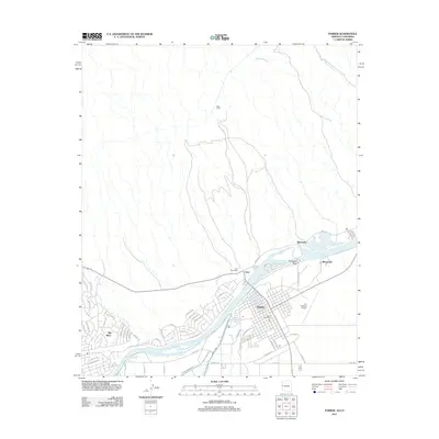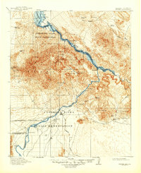
1911 Map of Parker
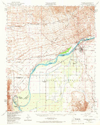
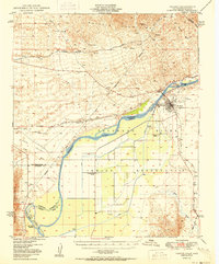
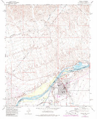
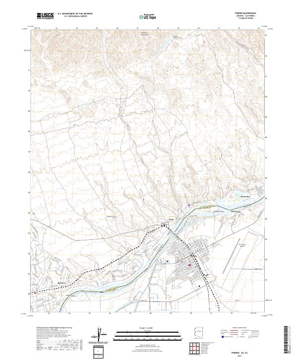
USGS Topo · Published 1947About this map
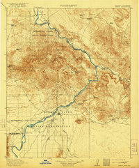
The Colorado River serves as the central artery for this desert landscape, defining the border between California and Arizona as it carves through the Whipple Mountains. This 1911 edition reflects the early development of Parker, established as a vital river crossing and rail point for the Santa Fe Prescott and Phoenix RR. Significant portions of the riverbank are dedicated to the Chemehuevi Valley Indian Reservation and the Colorado River Indian Reservation, illustrating the complex land management of the era. Mineral exploration is widespread throughout the rocky terrain, evidenced by numerous claims such as the Billy Mack Mine and the Manitowoc Prospect. The mapping of riverside flats and landings like Liverpool Landing and Eagle Landing highlights the reliance on river navigation before the full impact of major reclamation projects was felt in the region.
Find a feature on this map
56 named features on this map. Tap any name to fly to it.
Don’t see what you’re looking for? This feature index may not catch every label — zoom into the map to look around manually.
Map Details
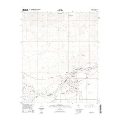
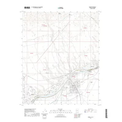
Editions of this 1911 Parker Map
3 editions found

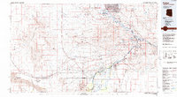
Historical Maps of Lake Havasu City Through Time
10 maps found