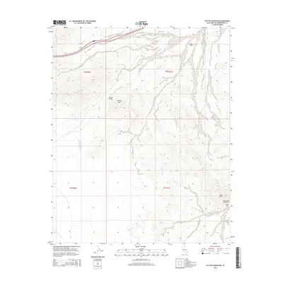
2015 Map of Flattop Mountain
USGS Topo · Published 2015About this map
Flattop Mtn dominates the central landscape of this section of the Mojave Desert, serving as a landmark in a terrain defined by complex drainage systems and arid peaks. The presence of Flattop Mountain Spring indicates a rare water source in this environment, situated at the head of a network of desert washes. To the east and south, the topography rises into the Sacramento Mountains, where Eagle Peak and the nearby Eagle Pass mark a significant break in the mountain wall. Wide alluvial basins such as Piute Valley and Homer Wash facilitate drainage across the northern and eastern portions of the map, while Crestview Wash carves through the central hills. This survey records the remote interior of San Bernardino County, where transportation is limited to the corridor of 40.
Find a feature on this map
14 named features on this map. Tap any name to fly to it.
Don’t see what you’re looking for? This feature index may not catch every label — zoom into the map to look around manually.
Map Details
Editions of this 2015 Flattop Mountain Map
This is the sole edition of this map. No revisions or reprints were ever made.
Other maps of this area

1903 · Needles
USGS Topo · 1:125,000

1904 · Needles Special
USGS Topo · 1:125,000

1943 · Center Hills
USGS Topo · 1:62,500

1943 · Bannock
USGS Topo · 1:62,500

1950 · Sawtooth Range
USGS Topo · 1:62,500

1950 · Needles
USGS Topo · 1:62,500

1951 · Sawtooth Range
USGS Topo · 1:62,500

1952 · Needles
USGS Topo · 1:62,500

1954 · Needles
USGS Topo · 1:250,000

1956 · Needles
USGS Topo · 1:250,000