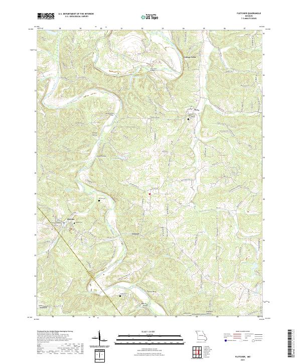
2021 Map of Fletcher
USGS Topo · Published 2021About this map
The Big River winds through the heart of this Jefferson County landscape, serving as the primary geographic anchor for small communities and family farmsteads. Near the settlement of Fletcher, the terrain transitions toward the northern reaches of the Saint Francois Mountains, characterized by numerous named hollows such as Grinnin Hollow and Hoot Owl Hollow. These steep-sided valleys suggest a traditional Ozark settlement pattern where dwellings and roads follow the gentler gradients of the watercourses.
Find a feature on this map
122 named features on this map. Tap any name to fly to it.
Don’t see what you’re looking for? This feature index may not catch every label — zoom into the map to look around manually.
Map Details
Editions of this 2021 Fletcher Map
This is the sole edition of this map. No revisions or reprints were ever made.
Other maps of this area

1901 · De Soto
USGS Topo · 1:125,000

1930 · De Soto NE
USGS Topo · 1:24,000

1930 · Pacific SE
USGS Topo · 1:24,000

1931 · De Soto SE
USGS Topo · 1:24,000

1937 · Fletcher
USGS Topo · 1:24,000

1937 · Tiff
USGS Topo · 1:24,000

1938 · Cedar Hill
USGS Topo · 1:24,000

1938 · Fletcher
USGS Topo · 1:24,000

1939 · Tiff
USGS Topo · 1:24,000

1940 · Cedar Hill
USGS Topo · 1:24,000