Loading...
Loading map...2022 Map of Floodwood
USGS Topo · Published 2022About this map
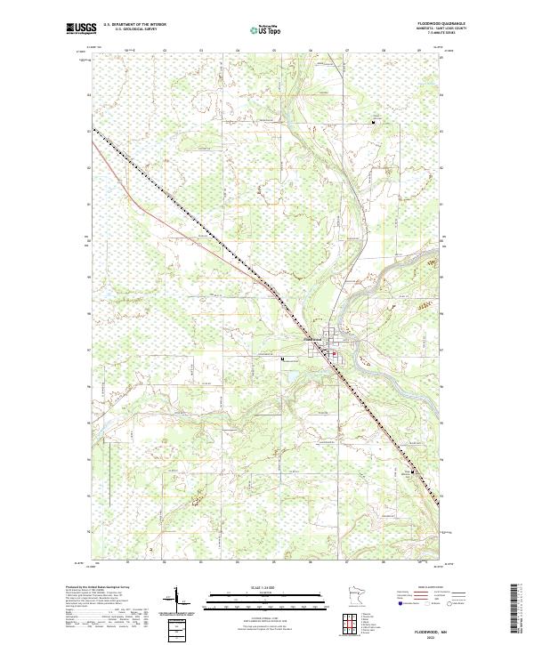
The Floodwood settlement serves as the focal point of this northern Minnesota landscape, situated at the confluence of the Floodwood River, the Savanna River, and the St. Louis River. The town's layout reflects its position as a regional hub, with the central Po and roads like St Vincent Rd radiating through the surrounding wetlands. The vast Toivola Swamp dominates the northeastern section, illustrating the low-lying, water-dense geography of Saint Louis County.
Find a feature on this map
33 named features on this map. Tap any name to fly to it.
Don’t see what you’re looking for? This feature index may not catch every label — zoom into the map to look around manually.
Map Details
Date Portrayed2022
Date Published2022
PublisherU.S. Geological Survey
Map TypeTopographic
Scale1:24000
Physical Dimensions24 x 29 inches
Editions of this 2022 Floodwood Map
This is the sole edition of this map. No revisions or reprints were ever made.
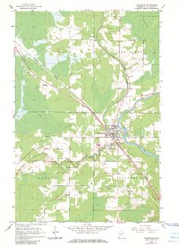
Historical Maps of Floodwood Through Time
Featured Locations
Source Details
SourceU.S. Geological Survey
CopyrightPublic Domain