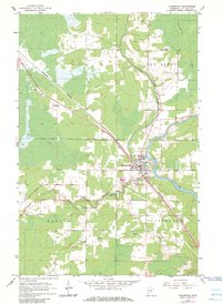
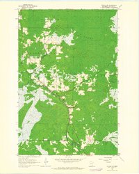
1963 Map of Floodwood
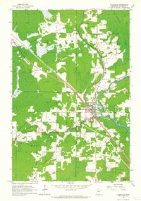
USGS Topo · Published 1983About this map
The confluence of the Floodwood River and the St Louis River anchors this 1963 survey of the St. Louis County landscape. The village of Floodwood serves as the primary hub, situated where the Burlington Northern railroad corridor meets the river system. This area reflects a mid-century balance of active infrastructure and wetlands, including the expansive Toivola Swamp to the northeast and a network of drainage projects like the Savanna Judicial Ditch and East Judicial Ditch.
Find a feature on this map
19 named features on this map. Tap any name to fly to it.
Don’t see what you’re looking for? This feature index may not catch every label — zoom into the map to look around manually.
Map Details
Editions of this 1963 Floodwood Map
2 editions found
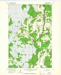
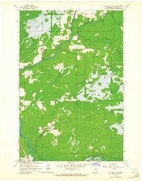
Other maps of this area

1953 · Duluth
USGS Topo · 1:250,000

1954 · Hibbing
USGS Topo · 1:250,000

1957 · Hibbing
USGS Topo · 1:250,000

1958 · Hibbing
USGS Topo · 1:250,000

1958 · Duluth
USGS Topo · 1:250,000

1963 · Gowan
USGS Topo · 1:24,000
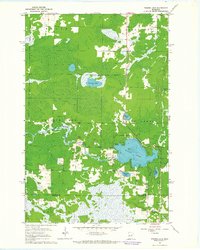
1963 · Prairie Lake
USGS Topo · 1:24,000
1963 · Elmer
USGS Topo · 1:24,000
1963 · Toivola SW
USGS Topo · 1:24,000
1963 · Mc Carty River
USGS Topo · 1:24,000