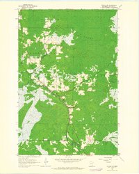
1963 Map of Toivola SW
USGS Topo · Published 1964About this map
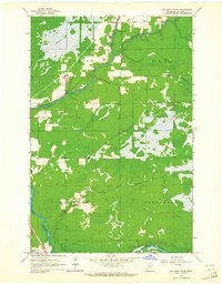
Toivola Swamp and Elmer Swamp dominate the landscape in this 1960s study of central St. Louis County. The topography is defined by the winding course of the Floodwood River and the Whiteface River, which carve through the dense marshland and wooded tracts of the Van Buren and Cedar Valley regions. Cultural developments are limited to the arterial roads and the small Roadside Park located near the riverbank, highlighting the era's reliance on these few corridors for travel through the Northwoods. This map reflects a period before intensive modernization, showing fine red dashed lines that indicate old fence and field boundaries visible from aerial photography during the 1950s. The survey provides a clear look at the drainage patterns and wetlands that shaped early settlement and land use in this part of Minnesota.
Find a feature on this map
7 named features on this map. Tap any name to fly to it.
Don’t see what you’re looking for? This feature index may not catch every label — zoom into the map to look around manually.
Map Details
Editions of this 1963 Toivola SW Map
2 editions found
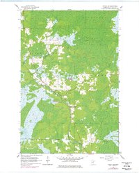
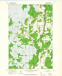
Other maps of this area

1953 · Duluth
USGS Topo · 1:250,000

1954 · Hibbing
USGS Topo · 1:250,000

1957 · Hibbing
USGS Topo · 1:250,000

1958 · Hibbing
USGS Topo · 1:250,000

1958 · Duluth
USGS Topo · 1:250,000
1963 · Elmer
USGS Topo · 1:24,000
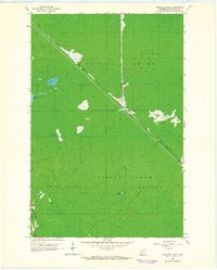
1963 · Upstead Lake
USGS Topo · 1:24,000
1963 · Mc Carty River
USGS Topo · 1:24,000
1963 · Toivola
USGS Topo · 1:24,000
1963 · Floodwood
USGS Topo · 1:24,000