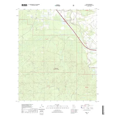
2020 Map of Flora
USGS Topo · Published 2020About this map
Kisatchie National Forest dominates the southern half of this area, characterized by a complex network of forest routes and hiking paths like the Sandstone Trail. This modern topographic survey reveals the intersection of timberlands and the historic bayou-based economy of Natchitoches Parish. The settlement of Cypress is situated along the major highway corridor, while Flora lies further northwest, connected by Parish Rd 751.
Find a feature on this map
54 named features on this map. Tap any name to fly to it.
Don’t see what you’re looking for? This feature index may not catch every label — zoom into the map to look around manually.
Map Details
Editions of this 2020 Flora Map
This is the sole edition of this map. No revisions or reprints were ever made.
Other maps of this area

1935 · Hagewood
USGS Topo · 1:31,680

1937 · Bermuda
USGS Topo · 1:31,680

1937 · Chopin NW
USGS Topo · 1:31,680

1937 · Bellwood
USGS Topo · 1:31,680

1937 · Montgomery
USGS Topo · 1:62,500

1937 · Cloutierville
USGS Topo · 1:31,680

1937 · Cypress
USGS Topo · 1:31,680

1942 · Kisatchie
USGS Topo · 1:62,500

1942 · Montgomery
USGS Topo · 1:62,500

1943 · Kisatchie
USGS Topo · 1:62,500