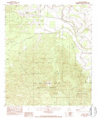
1983 Map of Flora
USGS Topo · Published 1984About this map
The Kisatchie National Forest dominates this landscape in Natchitoches Parish, where the complex waterways of L'Ivrogne Bayou and Luce Bayou snake through a heavily wooded interior. In the early 1980s, this area was defined by its protected lands, including the Red Dirt National Wildlife Management Preserve and the Kisatchie Hills Wilderness Area. These designations reflect a region dedicated to conservation and timber management, even as local life centered on small settlements like Flora and Gorum.
Find a feature on this map
50 named features on this map. Tap any name to fly to it.
Don’t see what you’re looking for? This feature index may not catch every label — zoom into the map to look around manually.
Map Details
Editions of this 1983 Flora Map
2 editions found
Other maps of this area

1935 · Hagewood
USGS Topo · 1:31,680

1937 · Bermuda
USGS Topo · 1:31,680

1937 · Chopin NW
USGS Topo · 1:31,680

1937 · Bellwood
USGS Topo · 1:31,680

1937 · Montgomery
USGS Topo · 1:62,500

1937 · Cloutierville
USGS Topo · 1:31,680

1937 · Cypress
USGS Topo · 1:31,680

1942 · Kisatchie
USGS Topo · 1:62,500

1942 · Montgomery
USGS Topo · 1:62,500

1943 · Kisatchie
USGS Topo · 1:62,500