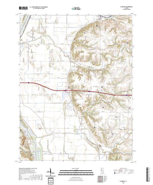
2024 Map of Florence
USGS Topo · Published 2024About this map
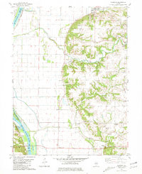
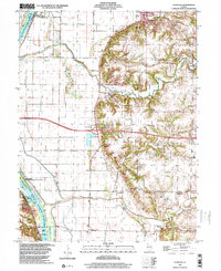
Florence sits along the eastern bank of the Illinois River, serving as a key crossing point where the Old Hwy Rd meets the water. The landscape transitions sharply from the river's floodplains, marked by Big Blue Island and Ferry Lake, into the high, dissected bluffs to the east. This upland area is defined by a dense concentration of family and community burial grounds, such as the Ellis Family Cem, Mitchell Family Cem, and Sears Cem, suggesting a long history of rural settlement and deep genealogical roots in the region.
Find a feature on this map
53 named features on this map. Tap any name to fly to it.
Don’t see what you’re looking for? This feature index may not catch every label — zoom into the map to look around manually.
Map Details
Editions of this 2024 Florence Map
This is the sole edition of this map. No revisions or reprints were ever made.