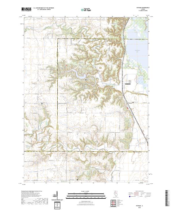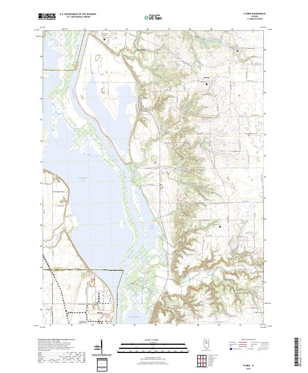
2024 Map of Florid
USGS Topo · Published 2024About this map
The Illinois River dominates this landscape as it carves through the transition between Bureau, Marshall, and Putnam Counties. Significant water bodies like Senachwine Lake, Swan Lake, and Sawmill Lake line the river's western bank, defining a complex riparian environment. On the bluffs to the east, the small settlement of Florid and the larger town of Hennepin serve as local anchors. This modern survey reflects the enduring agrarian and aquatic character of the region, where numerous rural cemeteries such as Hennepin Riverside Cem and Union Grove Cem provide vital links for genealogical research.
Find a feature on this map
74 named features on this map. Tap any name to fly to it.
Don’t see what you’re looking for? This feature index may not catch every label — zoom into the map to look around manually.
Map Details
Editions of this 2024 Florid Map
This is the sole edition of this map. No revisions or reprints were ever made.
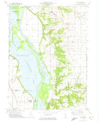
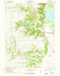
Historical Maps of Undercliff Through Time
4 maps found