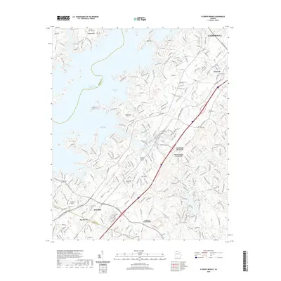
2020 Map of Flowery Branch
USGS Topo · Published 2020About this map
Lake Sidney Lanier and its complex network of inlets, including Chattahoochee Bay and Flowery Branch Bay, dominate the western half of this Hall County survey. The landscape is defined by the tension between the expanding suburban corridors of Gainesville and Buford and the rural character of older communities. The transportation spine of the region is clearly established by the Norfolk Southern railroad line and I-985, which pass through the heart of Flowery Branch and Oakwood.
Find a feature on this map
45 named features on this map. Tap any name to fly to it.
Don’t see what you’re looking for? This feature index may not catch every label — zoom into the map to look around manually.
Map Details
Editions of this 2020 Flowery Branch Map
This is the sole edition of this map. No revisions or reprints were ever made.
Other maps of this area

1890 · Suwanee
USGS Topo · 1:125,000

1891 · Gainesville
USGS Topo · 1:125,000

1894 · Suwanee
USGS Topo · 1:125,000

1954 · Greenville
USGS Topo · 1:250,000

1955 · Rome
USGS Topo · 1:250,000

1958 · Greenville
USGS Topo · 1:250,000

1958 · Rome
USGS Topo · 1:250,000

1961 · Rome
USGS Topo · 1:250,000

1963 · Rome
USGS Topo · 1:250,000

1964 · Hog Mountain
USGS Topo · 1:24,000