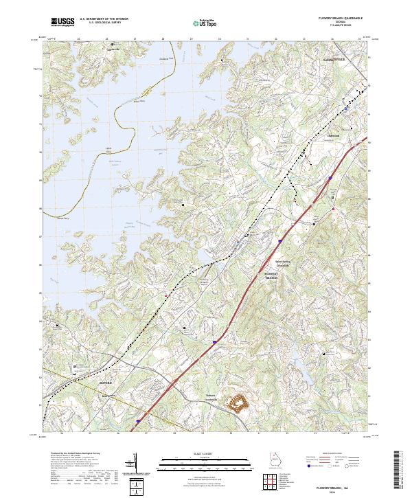
2024 Map of Flowery Branch
USGS Topo · Published 2024About this map
The rising waters of Lake Sidney Lanier dominate the western portion of this landscape, where submerged features like Lights Ferry and Gaines Ferry once facilitated movement across the Chattahoochee River. The rugged fingers of Flowery Branch Bay and Chattahoochee Bay reflect a modern geography defined by the 20th-century impoundment of the river, leaving old crossing points such as Goddards Ford as purely historical references.
Find a feature on this map
122 named features on this map. Tap any name to fly to it.
Don’t see what you’re looking for? This feature index may not catch every label — zoom into the map to look around manually.
Map Details
Editions of this 2024 Flowery Branch Map
This is the sole edition of this map. No revisions or reprints were ever made.
Other maps of this area

1890 · Suwanee
USGS Topo · 1:125,000

1891 · Gainesville
USGS Topo · 1:125,000

1894 · Suwanee
USGS Topo · 1:125,000

1954 · Greenville
USGS Topo · 1:250,000

1955 · Rome
USGS Topo · 1:250,000

1958 · Greenville
USGS Topo · 1:250,000

1958 · Rome
USGS Topo · 1:250,000

1961 · Rome
USGS Topo · 1:250,000

1963 · Rome
USGS Topo · 1:250,000

1964 · Hog Mountain
USGS Topo · 1:24,000