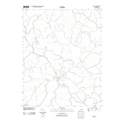
2010 Map of Floyd
USGS Topo · Published 2010About this map
The town of Floyd serves as the central hub of this Virginia landscape, situated near the headwaters of several key drainage systems. To the south of the town center, the Jacksonville Cemetery provides a focal point for genealogical research, while the Floyd Post Office marks the community's civic heart. The area's topography is defined by the proximity of the Blue Ridge, with prominent landmarks such as Stockers Knob and the twin peaks of The Haycocks rising above the surrounding terrain.
Find a feature on this map
59 named features on this map. Tap any name to fly to it.
Don’t see what you’re looking for? This feature index may not catch every label — zoom into the map to look around manually.
Map Details
Editions of this 2010 Floyd Map
This is the sole edition of this map. No revisions or reprints were ever made.
Other maps of this area

1890 · Christiansburg
USGS Topo · 1:125,000

1932 · Blacksburg
USGS Topo · 1:48,000

1937 · Blacksburg
USGS Topo · 1:62,500

1950 · Elliston
USGS Topo · 1:62,500

1953 · Winston-Salem
USGS Topo · 1:250,000

1955 · Bluefield
USGS Topo · 1:250,000

1955 · Winston-Salem
USGS Topo · 1:250,000

1957 · Endicott
USGS Topo · 1:62,500

1957 · Floyd
USGS Topo · 1:62,500

1957 · Bluefield
USGS Topo · 1:250,000