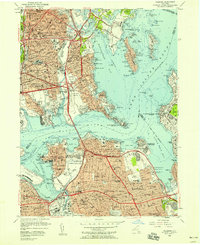
1955 Map of Flushing
USGS Topo · Published 1957About this map
Flushing and its surrounding Queens Co and Bronx Co neighborhoods are shown during a period of massive post-war infrastructure expansion. The landscape is defined by the heavy arteries of the Hutchinson River Parkway and Grand Central Parkway, alongside the massive footprint of La Guardia Field. Marine and aviation history is prominent, from the Flushing Airport to the U S Merchant Marine Academy and State Maritime College at Fort Schuyler.
Find a feature on this map
134 named features on this map. Tap any name to fly to it.
Don’t see what you’re looking for? This feature index may not catch every label — zoom into the map to look around manually.
Map Details
Editions of this 1955 Flushing Map
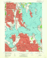
2 editions found
Other maps of this area

1889 · Brooklyn
USGS Topo · 1:62,500

1891 · Brooklyn
USGS Topo · 1:62,500

1891 · Harlem
USGS Topo · 1:62,500

1897 · Harlem
USGS Topo · 1:62,500

1897 · Brooklyn
USGS Topo · 1:62,500

1897 · Hempstead
USGS Topo · 1:62,500

1897 · Oyster Bay
USGS Topo · 1:62,500

1898 · Harlem
USGS Topo · 1:62,500

1898 · Hempstead
USGS Topo · 1:62,500

1898 · Brooklyn
USGS Topo · 1:62,500
Featured Places
- New York, NY
- North Hempstead, NY
- New Rochelle, NY
- Great Neck, North Hempstead
- Kings Point, North Hempstead