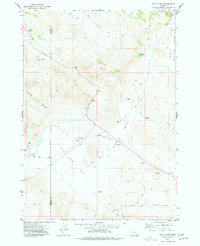
1974 Map of Folly Farm
USGS Topo · Published 1977About this map
Folly Farm (Site) sits at the edge of an expansive high-desert landscape where the Harney and Malheur county line crosses the arid floor of Folly Farm Flat. Recorded during the mid-1970s, this area is defined by its seasonal water sources and livestock infrastructure, including scattered dry wells, corrals, and springs like Summit Springs and Black Bull Spring. The map documents a transition from the broad, flat Barren Valley and its prominent lakebed in the northeast to the rising elevations of the Sheepshead Mountains in the south. Transportation is primarily limited to a network of jeep trails that navigate through Baker Pass and along the drainages of Lambing Canyon and Renwick Canyon. This topography reflects the remote ranching and grazing history of the region, where named features often mark essential water access or passage through the high desert breaks.
Find a feature on this map
21 named features on this map. Tap any name to fly to it.
Don’t see what you’re looking for? This feature index may not catch every label — zoom into the map to look around manually.
Map Details
Editions of this 1974 Folly Farm Map
This is the sole edition of this map. No revisions or reprints were ever made.
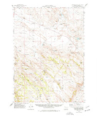
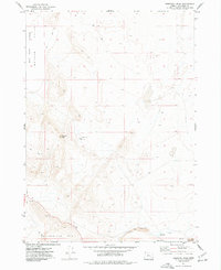
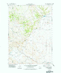
Other maps of this area

1955 · Burns
USGS Topo · 1:250,000

1955 · Adel
USGS Topo · 1:250,000

1957 · Adel
USGS Topo · 1:250,000

1958 · Burns
USGS Topo · 1:250,000

1958 · Adel
USGS Topo · 1:250,000

1959 · Burns
USGS Topo · 1:250,000

1962 · Adel
USGS Topo · 1:250,000
1974 · Anderson Mtn
USGS Topo · 1:62,500
1974 · Turnbull Peak
USGS Topo · 1:24,000
1974 · Folly Farm
USGS Topo · 1:62,500