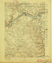
1896 Map of Fonda
USGS Topo · Published 1896About this map
The Mohawk River corridor serves as the industrial and transportation spine of this late-19th-century landscape, dominated by the parallel routes of the Erie Canal, the New York Central and Hudson River Railroad, and the West Shore R. R. These infrastructure networks connect bustling river towns like Fonda and Fultonville, while the Cayadutta Electric R. R. pushes north toward Johnstown.
Find a feature on this map
53 named features on this map. Tap any name to fly to it.
Don’t see what you’re looking for? This feature index may not catch every label — zoom into the map to look around manually.
Map Details
Editions of this 1896 Fonda Map
This is the sole edition of this map. No revisions or reprints were ever made.
Other maps of this area
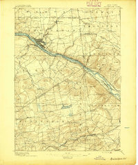
1895 · Amsterdam
USGS Topo · 1:62,500
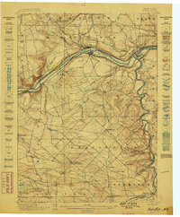
1898 · Fonda
USGS Topo · 1:62,500
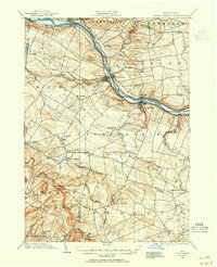
1898 · Canajoharie
USGS Topo · 1:62,500
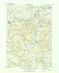
1898 · Schoharie
USGS Topo · 1:62,500
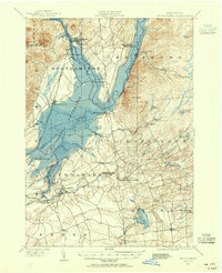
1899 · Broadalbin
USGS Topo · 1:62,500
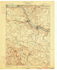
1900 · Canajoharie
USGS Topo · 1:62,500
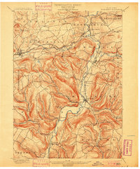
1900 · Schoharie
USGS Topo · 1:62,500
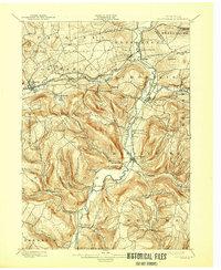
1900 · Schoharie
USGS Topo · 1:31,680
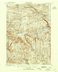
1900 · Berne
USGS Topo · 1:62,500
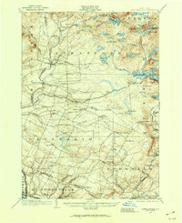
1901 · Lassellsville
USGS Topo · 1:62,500