
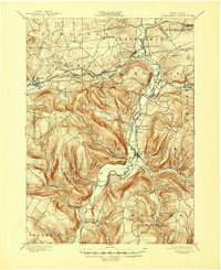
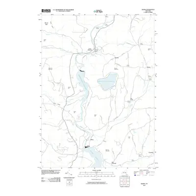
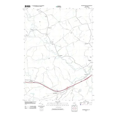
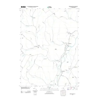
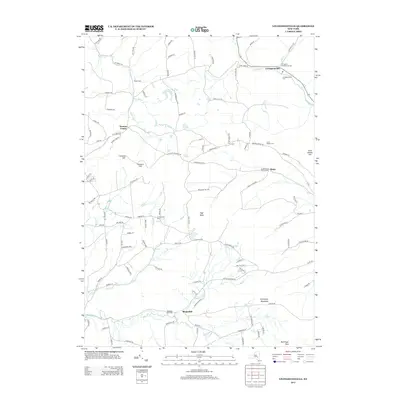
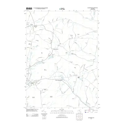
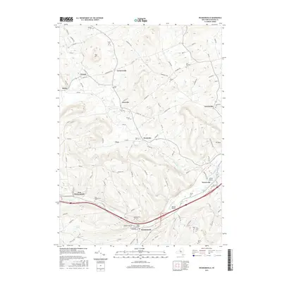
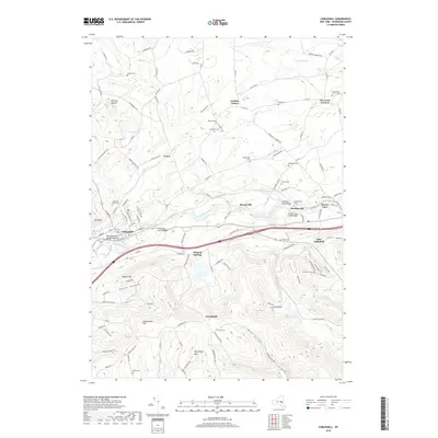
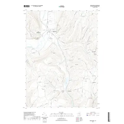
1900 Map of Schoharie
USGS Topo · Published 1944About this map
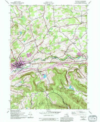
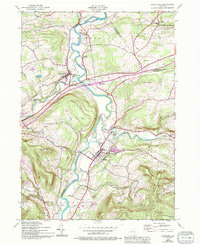
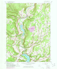
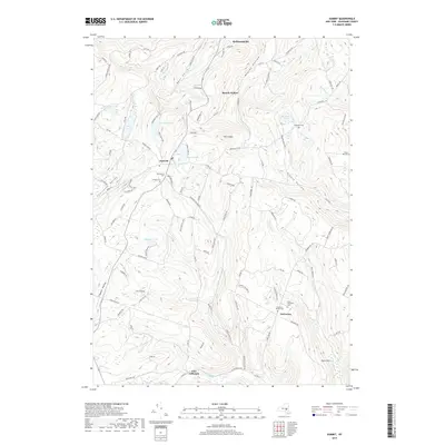
Schoharie Creek dominates this valley landscape, serving as the central artery for the region's 19th-century development and transport. The valley floor is defined by a series of significant rail junctions and small industrial hamlets, including the prominent rail connection at Schoharie Junction and the critical limestone works at Howes Cave. The map illustrates the specialized rail lines of the era, specifically the Middleburg and Schoharie railroad which follows the creek's western bank through the heart of the territory.
Find a feature on this map
57 named features on this map. Tap any name to fly to it.
Don’t see what you’re looking for? This feature index may not catch every label — zoom into the map to look around manually.
Map Details
Editions of this 1900 Schoharie Map
This is the sole edition of this map. No revisions or reprints were ever made.
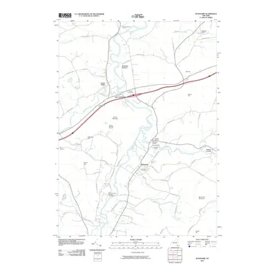
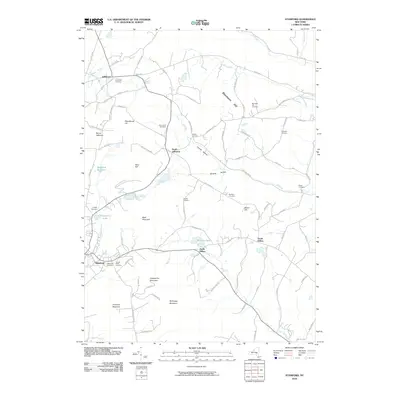
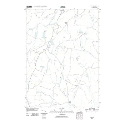
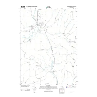
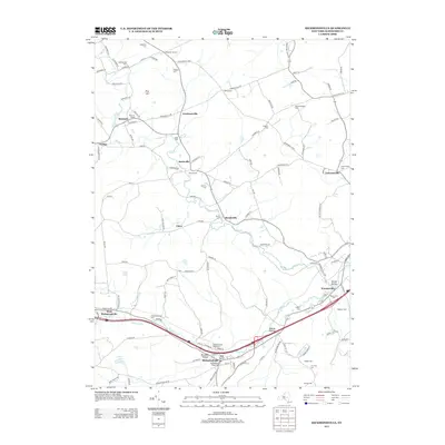
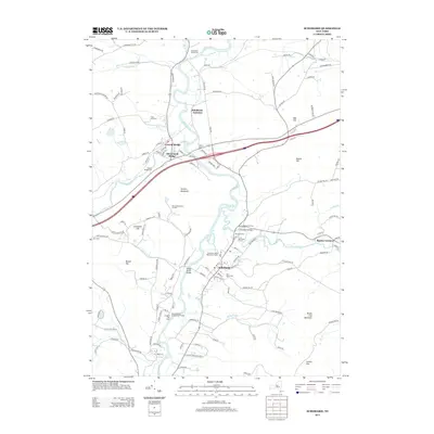
Historical Maps of Cobleskill Through Time
77 maps found

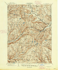
1898 Schoharie
Schoharie County, NY
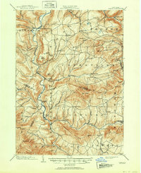
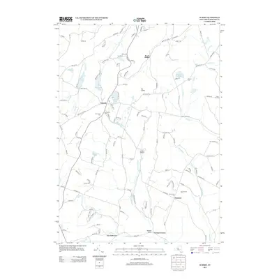
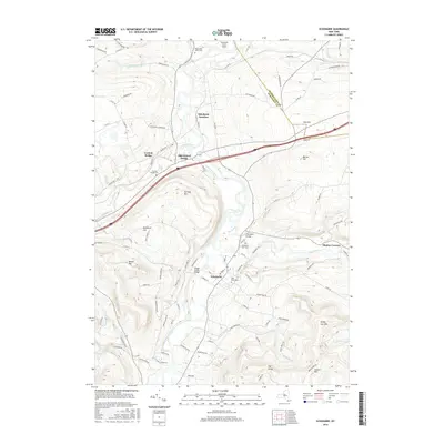
1900 Schoharie
Schoharie County, NY
1900 Schoharie
Schoharie County, NY

1901 Gilboa
Schoharie County, NY
1903 Gilboa
Schoharie County, NY
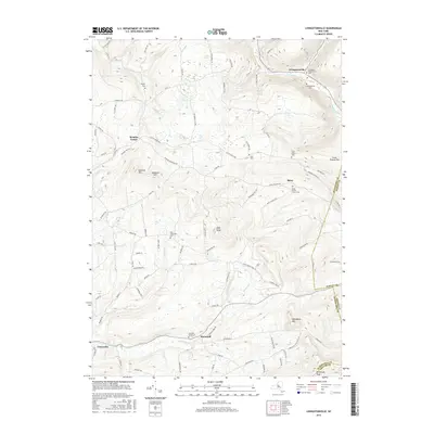
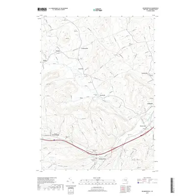
1904 Richmondville
Schoharie County, NY
1943 Breakabeen
Schoharie County, NY
1943 Cobleskill
Schoharie County, NY
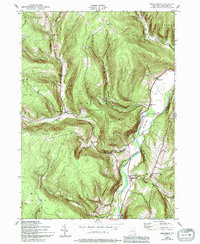
1943 Schoharie
Schoharie County, NY

1943 Summit
Schoharie County, NY
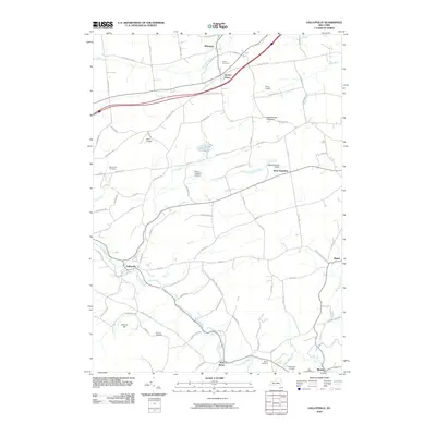
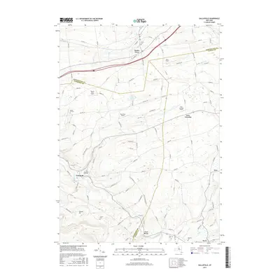
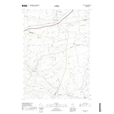
1944 Gallupville
Schoharie County, NY
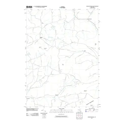
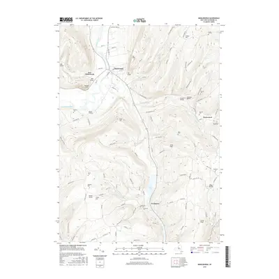
1944 Middleburgh
Schoharie County, NY

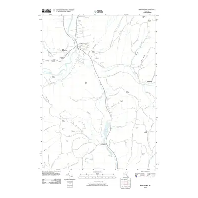
1944 Richmondville
Schoharie County, NY

1945 Cobleskill
Schoharie County, NY
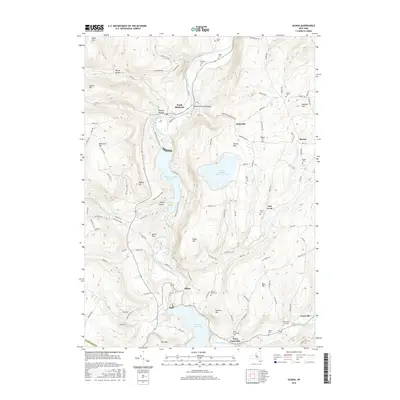
1945 Gilboa
Schoharie County, NY
1945 Livingstonville
Schoharie County, NY

1945 Richmondville
Schoharie County, NY

1945 Stamford
Schoharie County, NY

1945 Summit
Schoharie County, NY

1946 Breakabeen
Schoharie County, NY

1946 Gallupville
Schoharie County, NY

1946 Livingstonville
Schoharie County, NY

1946 Middleburgh
Schoharie County, NY

1946 Schoharie
Schoharie County, NY

1946 Stamford
Schoharie County, NY

1962 Livingstonville
Schoharie County, NY

1996 Cobleskill
Schoharie County, NY
2010 Breakabeen
Schoharie County, NY
2010 Cobleskill
Schoharie County, NY
2010 Gallupville
Schoharie County, NY
2010 Gilboa
Schoharie County, NY
2010 Livingstonville
Schoharie County, NY
2010 Middleburgh
Schoharie County, NY
2010 Richmondville
Schoharie County, NY
2010 Schoharie
Schoharie County, NY
2010 Stamford
Schoharie County, NY
2010 Summit
Schoharie County, NY
2013 Breakabeen
Schoharie County, NY
2013 Cobleskill
Schoharie County, NY
2013 Gallupville
Schoharie County, NY
2013 Gilboa
Schoharie County, NY
2013 Livingstonville
Schoharie County, NY
2013 Middleburgh
Schoharie County, NY
2013 Richmondville
Schoharie County, NY
2013 Schoharie
Schoharie County, NY
2013 Stamford
Schoharie County, NY
2013 Summit
Schoharie County, NY
2016 Breakabeen
Schoharie County, NY
2016 Cobleskill
Schoharie County, NY
2016 Gallupville
Schoharie County, NY
2016 Gilboa
Schoharie County, NY
2016 Livingstonville
Schoharie County, NY
2016 Middleburgh
Schoharie County, NY
2016 Richmondville
Schoharie County, NY
2016 Schoharie
Schoharie County, NY
2016 Stamford
Schoharie County, NY
2016 Summit
Schoharie County, NY

2019 Breakabeen
Schoharie County, NY
2019 Cobleskill
Schoharie County, NY
2019 Gallupville
Schoharie County, NY
2019 Gilboa
Schoharie County, NY
2019 Livingstonville
Schoharie County, NY
2019 Middleburgh
Schoharie County, NY
2019 Richmondville
Schoharie County, NY
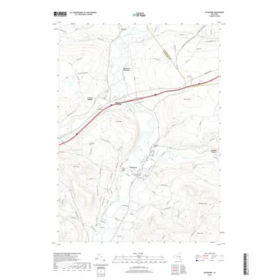
2019 Schoharie
Schoharie County, NY
2019 Stamford
Schoharie County, NY
2019 Summit
Schoharie County, NY

2023 Breakabeen
Schoharie County, NY

2023 Cobleskill
Schoharie County, NY

2023 Gallupville
Schoharie County, NY

2023 Gilboa
Schoharie County, NY

2023 Livingstonville
Schoharie County, NY

2023 Middleburgh
Schoharie County, NY

2023 Richmondville
Schoharie County, NY

2023 Schoharie
Schoharie County, NY

2023 Stamford
Schoharie County, NY

2023 Summit
Schoharie County, NY